Case Studies

Monitoring The Impact of Mining Activities Using InSAR
We analysed the Golborne town for mining-related ground movement through our InSAR data visualisation portal; SatShop and found some interesting ground movement patterns
Comparing InSAR Data and Peg Monitoring Data
InSAR is a relatively new monitoring technique for civil engineering applications, hear how InSAR compares with more traditional monitoring in this case study.
How InSAR can help close insurance claims quickly
When an insurance claim for property damage is made, 6 to 18 months of building monitoring on the ground is typically needed to demonstrate seasonal movement, which is both expensive and time-consuming. Hear how using InSAR can reduce claim times.
Snowdonia Landslide
A landslide in Snowdonia National park resulted in the closure of the A498 between Penygwryd Hotel and Beddgelert. SatSense have analysed InSAR data to see if there was any precursory ground movement to the landslide event on 30 September 2022.
Monitoring water utilities with InSAR
Ensuring embankment stability is a necessity to prevent the catastrophic effects of dam failure, hear how InSAR can be utilised to monitor your water utility asset.
Investigating shrink/swell movements across the highway network
Cyclic shrink/swell movements pose substantial geotechnical and structural challenges for managing transport infrastructure. Investigate how London Clay affects M25 earthworks with InSAR.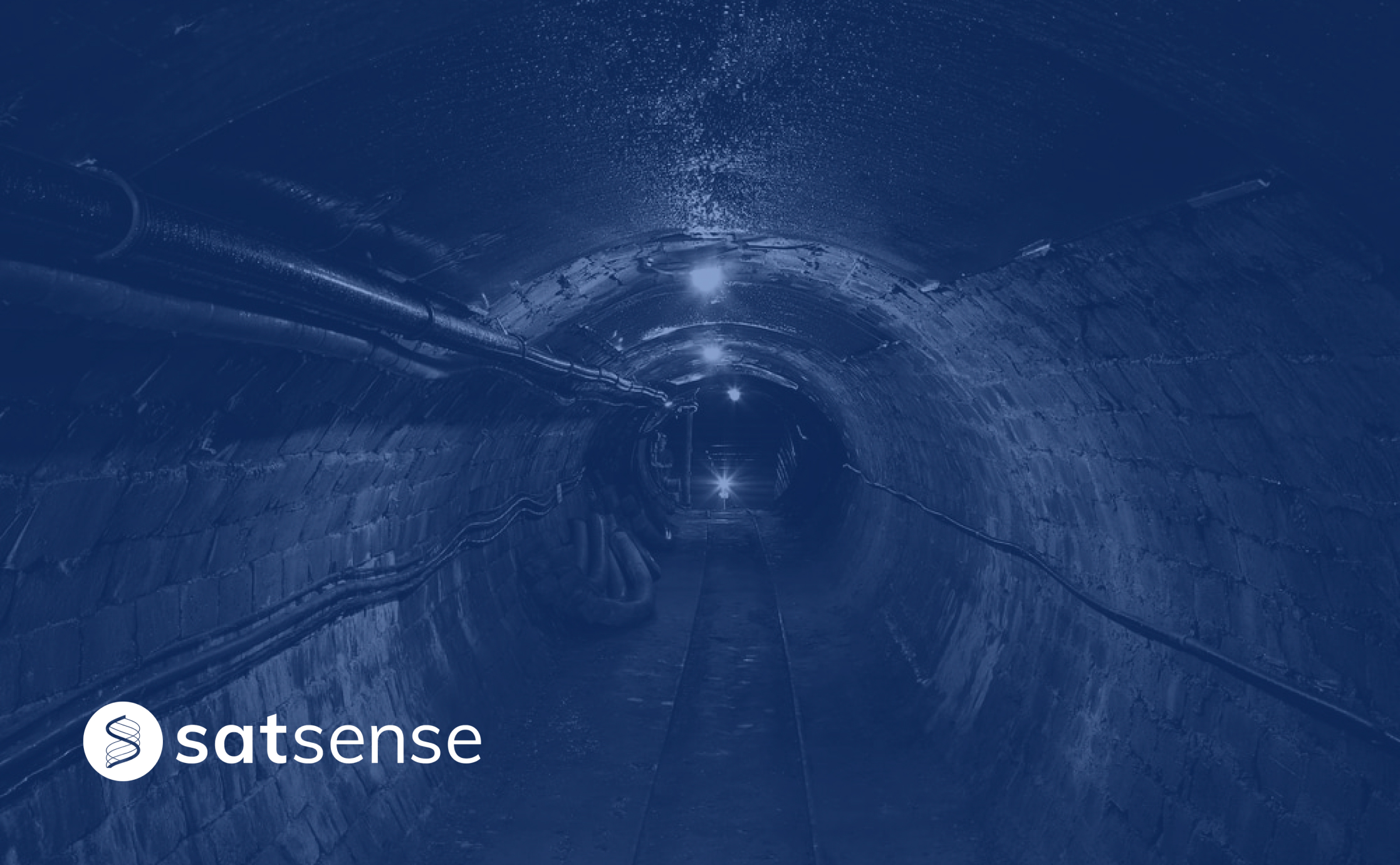
Predict pipe failures using ground movement data
We recently completed a study in collaboration with several water utility companies and the European Space Agency (ESA). Hear how this study improved prediction of bursts by over 40%!
Using InSAR to Assess Movement over Brownfield Sites
Using InSAR at desk study stage can help identify and assess movement risks across an entire site, hear how Ramage Young used our data to identify movement trends across their site.
Miami building collapse
The tragic collapse of the residential building in Miami on Thursday, SatSense processed Sentinel-1 radar data to analyse movement in the area; results suggest no clear precursory movements on the building.