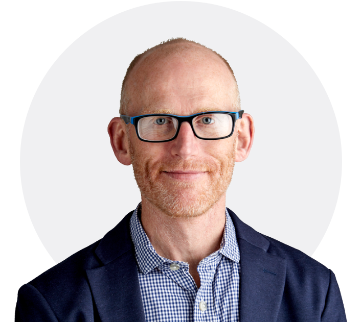
About Us

A dedicated and experienced team of InSAR specialists

Making InSAR Accessible

With over 80 years of experience we're changing how you access and interpret satellite ground movement data. Our mission is to make this once expensive dataset affordable, accessible and easy to interpret. From our up-to-date user friendly Marketplace to our bespoke machine learning models - we're here to help you to get the best risk management and business decisions from InSAR.

  • Aid ground investigations
  • Inform decisions within asset management
  • Signpost preventative maintenance priorities for infrastructure

And the majority of that power lies within how the data is accessed.

Accessing Data 1 Overview

Meet the team

About Us CEO

Matthew Bray

CEO

Matt has over 15 years experience delivering consultancy, equipment and monitoring services to high value projects in the UK and overseas. He joined SatSense as CEO following seed funding and has seen the business thrive, winning multi-year contracts in over 20 countries. Clients include national infrastructure owner-operators, government organisations, insurance companies and global engineering consultancies among others.

He was previously part of the management team at a successful VC-backed spinout technology company from the University of Cambridge. There he spent 10 years helping build to the business to market leader, and acquisition by a trade buyer in 2016. He holds a first class degree in Mechanical Engineering, a Masters in Engineering Management and a PhD in Engineering from the University of Cambridge.

Professor Tim Wright

Co-Founder & Director

Tim Wright is Professor of Satellite Geodesy at the University of Leeds and director of COMET, the UK Natural Environment Research Council's Centre for the Observation and Modelling of Earthquakes, Volcanoes and Tectonics. He has pioneered the development of InSAR for the measurement of tectonic deformation due to continental collision and magmatic rifting. He jointly leads a major academic project that is using Sentinel-1 InSAR to map tectonic strain globally. He has received numerous awards for his academic work including the American Geophysical Union's Geodesy Section Award (2014) and the Royal Astronomical Society's Harold Jeffreys Lectureship (2017). He co-founded SatSense in 2018 and is a company director.

Founder Tim
Founder Andy

Professor Andy Hooper

Co-Founder & Director

Andy Hooper is Professor of Geodesy and Geophysics at the University of Leeds. He has pioneered the development of new algorithms to accurately extract deformation of the ground from time series of satellite radar images, which are now widely used in the community (StaMPS). He led the long-term deformation effort in a major European project, FUTUREVOLC, which established an integrated volcanological monitoring procedure in Iceland, and is now leading the work to integrate and model geophysical, geochemical, and petrological monitoring data in the EUROVOLC project. In 2016 he was awarded the James B. Macelwane medal by the American Geophysical Union. He co-founded SatSense in 2018 and is a company director.

Karsten Spaans

Lead Engineer

Karsten is a remote sensing specialist with over 10 years of experience in INSAR processing on large scales in academic and commercial settings. He currently heads up the technical team at SatSense. Before that, Karsten did a Masters degree in Aerospace Engineering, specialising in Earth and Planetary Observation, from Delft University of Technology, as well as a PhD degree from the University of Leeds, in Geodesy and Geophysics.

Lead Engineer

Contact us today to learn how SatSense can help you get the most from satellite derived ground movement data.