Case Studies
Safeguarding Airport Runways Using Satellite DataAirport runways, taxiways and pavements are designed to withstand immense loading and frequent use. Airports are often built on reclaimed or repurposed land, which can be susceptible to ground movements.
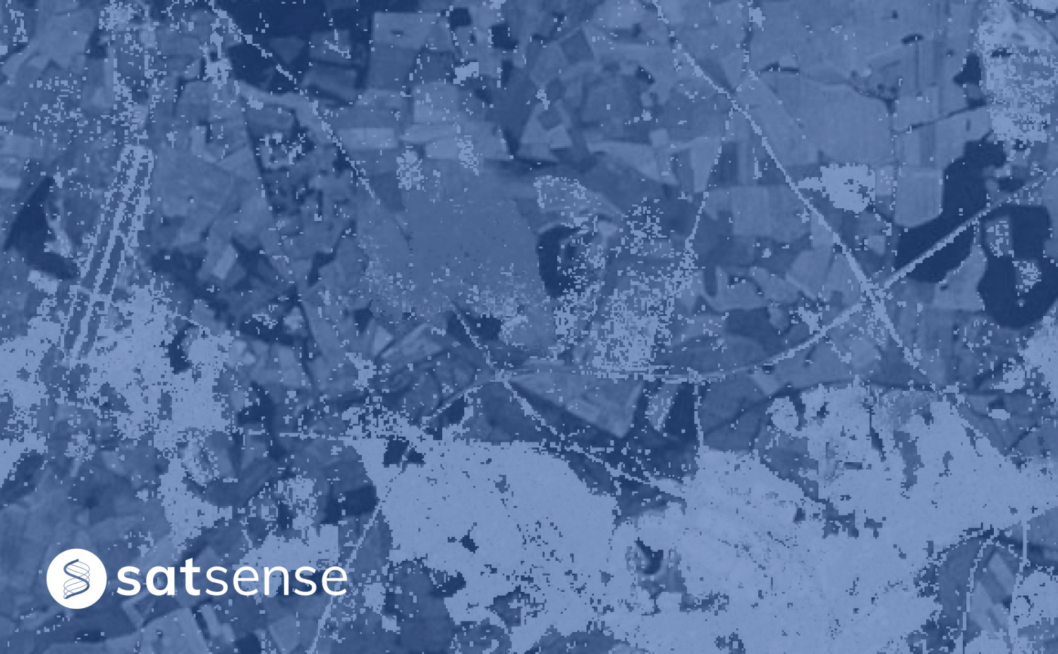
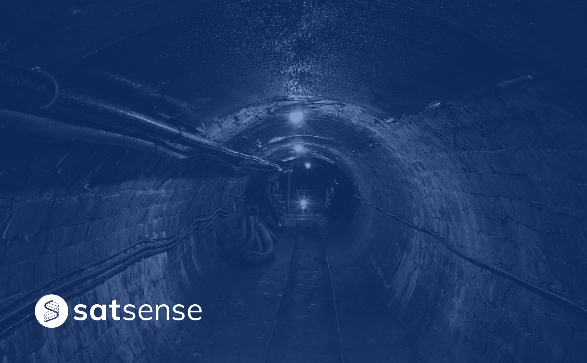
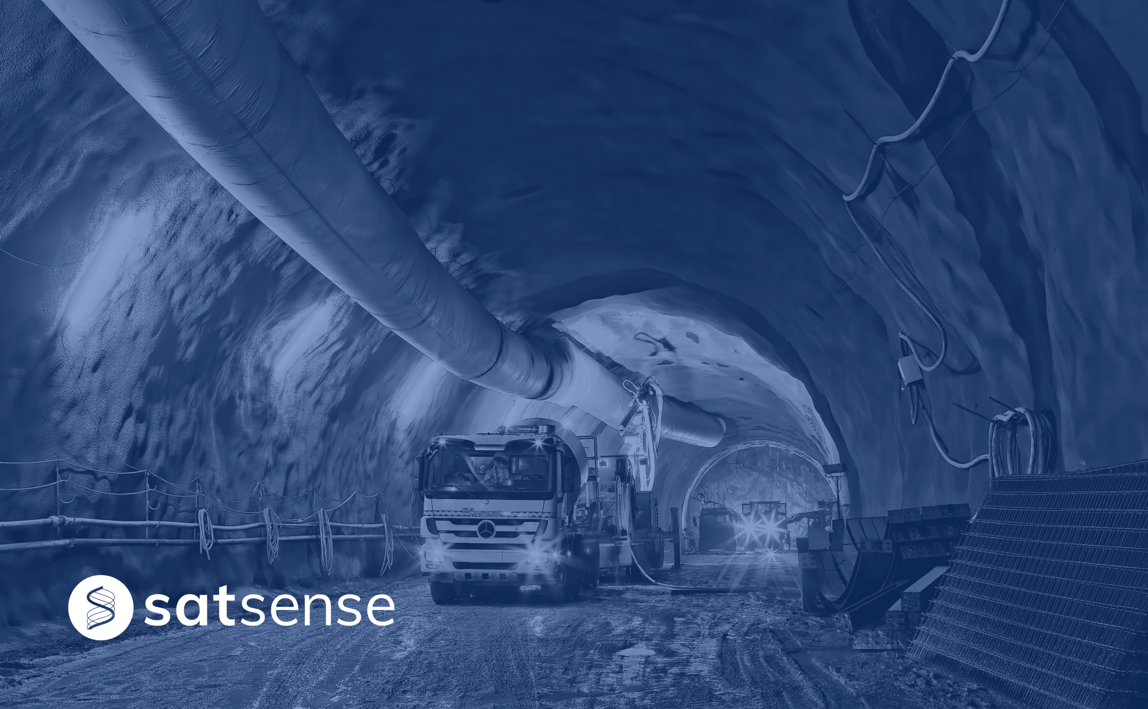
Monitoring The Impact of Mining Activities Using InSARWe analysed the Golborne town for mining-related ground movement through our InSAR data visualisation portal; SatShop and found some interesting ground movement patterns

How InSAR can help close insurance claims quicklyWhen an insurance claim for property damage is made, 6 to 18 months of building monitoring on the ground is typically needed to demonstrate seasonal movement, which is both expensive and time-consuming. Hear how using InSAR can reduce claim times.

Comparing InSAR Data and Peg Monitoring DataInSAR is a relatively new monitoring technique for civil engineering applications, hear how InSAR compares with more traditional monitoring in this case study.

Monitoring water utilities with InSAREnsuring embankment stability is a necessity to prevent the catastrophic effects of dam failure, hear how InSAR can be utilised to monitor your water utility asset.
Predict pipe failures using ground movement dataWe recently completed a study in collaboration with several water utility companies and the European Space Agency (ESA). Hear how this study improved prediction of bursts by over 40%!
Investigating shrink/swell movements across the highway networkCyclic shrink/swell movements pose substantial geotechnical and structural challenges for managing transport infrastructure. Investigate how London Clay affects M25 earthworks with InSAR.
Using InSAR to Assess Movement over Brownfield SitesUsing InSAR at desk study stage can help identify and assess movement risks across an entire site, hear how Ramage Young used our data to identify movement trends across their site.

Miami building collapse The tragic collapse of the residential building in Miami on Thursday, SatSense processed Sentinel-1 radar data to analyse movement in the area; results suggest no clear precursory movements on the building.
Integrate InSAR Datasets into your Modelling SystemsHear how SatSense, and Earth-I, a leading provider of satellite data AI analytics, have joined forces to integrate their ground movement remote sensing services.