What is InSAR?
Using radar imagery to measure ground movement
InSAR Measurement Technique
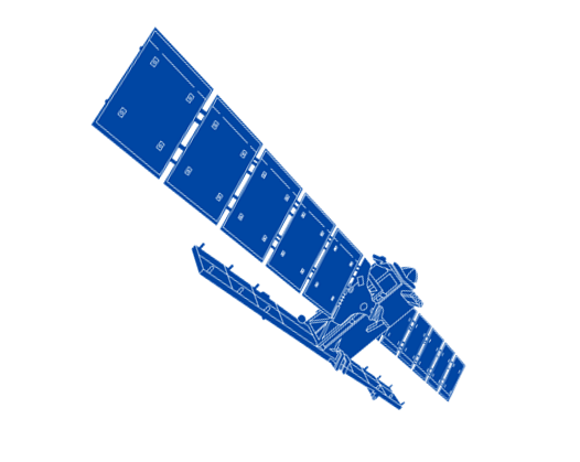
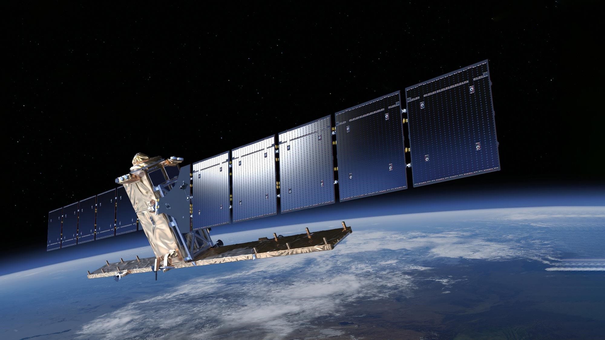
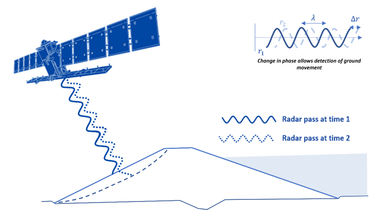
Interferometric Synthetic Aperture Radar (InSAR) is a monitoring technique which uses radar imagery to measure ground movement. The radar images are acquired using satellites which emit an electromagnetic beam that is subsequently backscattered from the Earth’s surface and received by the sensor on the satellite. The phase of the signal received by the satellite is related to the distance between the satellite and the ground. By comparing the phase of one radar image with another, we can determine whether the ground has moved away from or towards the satellite between those images. Combining multiple radar images, we can produce a time history of movements to calculate mm/yr precision!
Satellite Look Direction
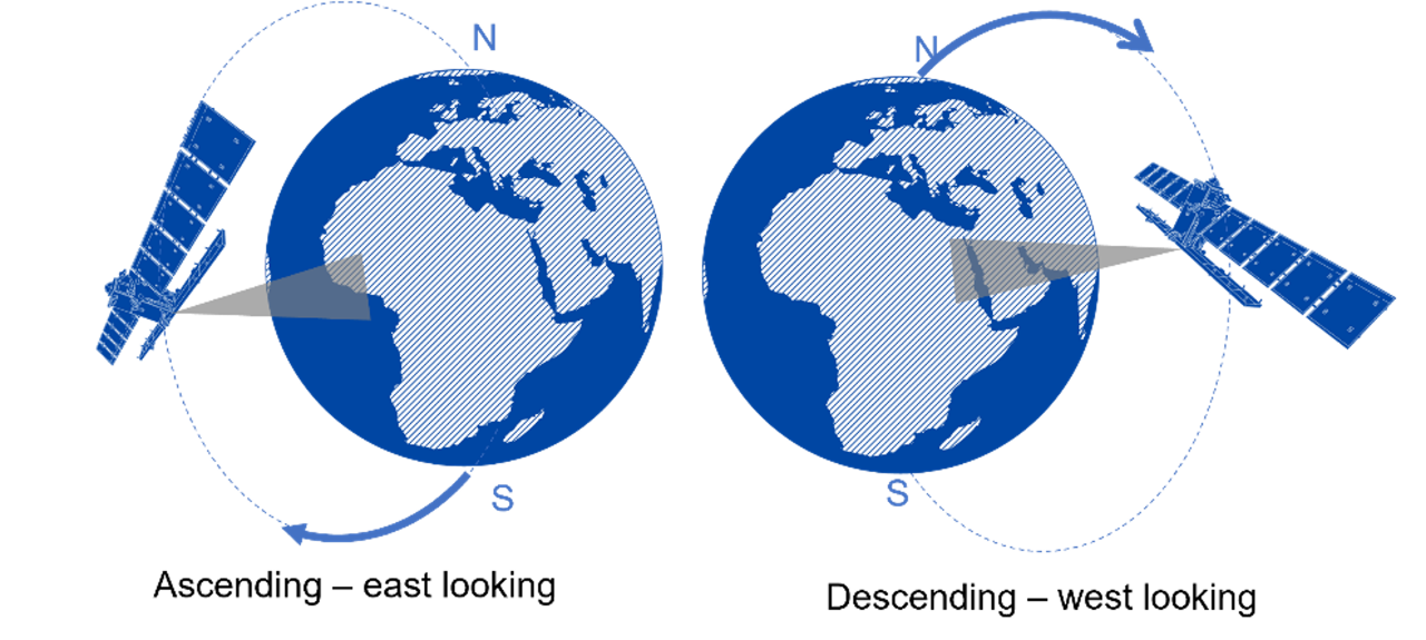
InSAR measures movement in one direction, the satellite line-of-sight. The primary source of SatSense’s data, the Sentinel-1 mission, flies in a polar orbit and looks to its right. When the satellite flies from north to the south, the look angle is towards the west and this is known as the descending orbit. The opposite occurs for the ascending pass such that the satellite look angle is to the east. As the Earth spins beneath the orbiting satellite, the same part of the Earth can be imaged by the satellite in both ascending and descending passes. By combining data from these two passes, we can estimate the vertical and horizontal components of the observed motion.
Why Use InSAR?
- Radar is a form of active remote sensing that enables observations to be made through clouds and during the night such that every radar image taken provides useful data.
- Sentinel-1 mission has a 6 day repeat time over many parts of the world when the two satellite constellation is fully operational. Additionally, InSAR can provide ground movement information over large areas at high resolution. Radar images are often hundreds of kilometres wide, meaning entire towns, cities, regions and even countries can be monitored using the technique. InSAR offers a precise, national-scale monitoring service with frequent updates.
- At SatSense we have used InSAR to produce a ground movement map which we keep up to date as new images are acquired. This unique capability means we can very quickly provide up-to-date ground movement data for a project.
- Furthermore, satellite InSAR has global potential as most of the planet is covered by satellite radar imagery, meaning we can also provide data for overseas projects.