Our Blog
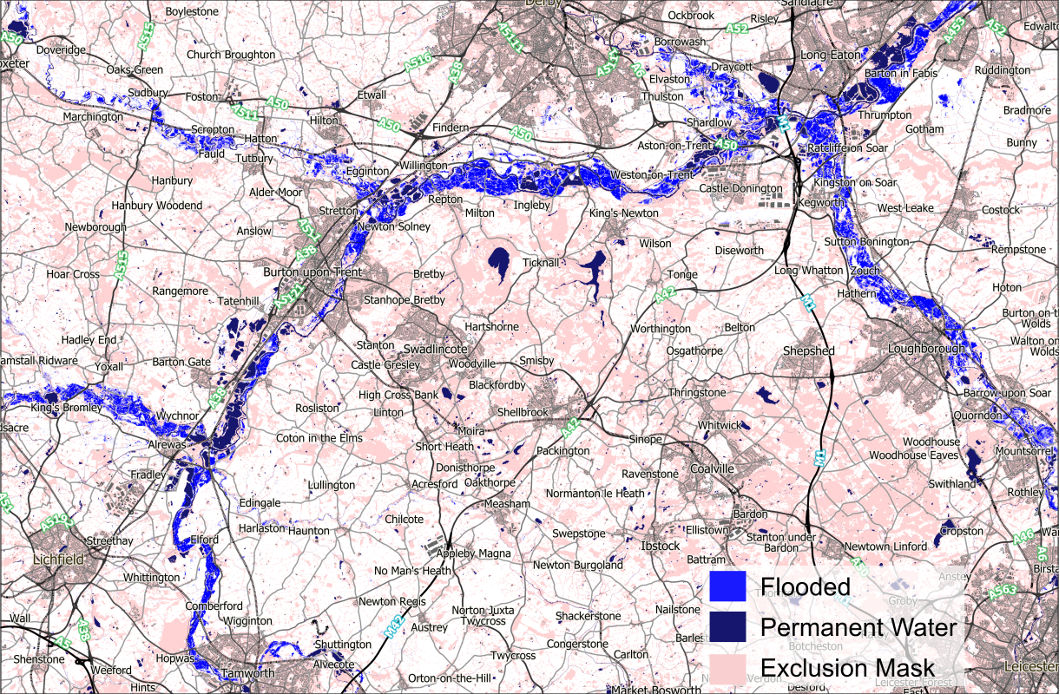
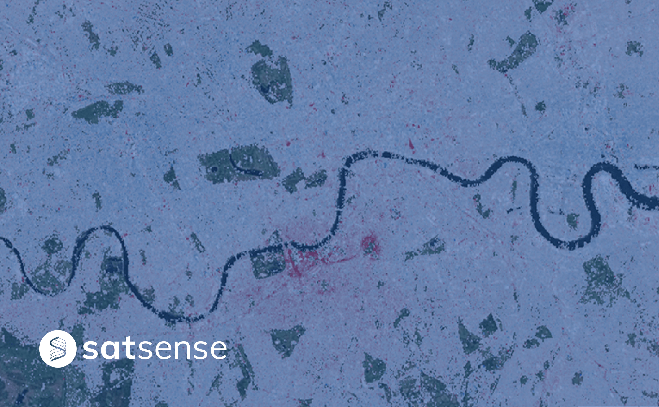
Introducing SatSense FloodMap: Revolutionising UK Flood Monitoring with Advanced SAR TechnologyLeveraging advanced Synthetic Aperture Radar (SAR) satellite data, FloodMap delivers timely, accurate, and high-resolution flood maps, directly addressing the critical need for a comprehensive and consistent approach to flood detection across the nation.
SatSense Santa Tracker: Bringing Christmas Magic to Your DoorstepThis Christmas, children in the towns around the UK will be able to track when Santa is in their street, thanks to an app supported by SatSense. SatSense are used to tracking ground and infrastructure movements from satellite, but it’s the first time we’ve tracked the movements of a sleigh.
SatSense and Zonguldak Bülent Ecevit University Partner to Revolutionise Ground Movement Monitoring in TürkiyeSatSense are excited to announce a partnership with Zonguldak Bülent Ecevit University (ZBEU) to provide ground and structure movement monitoring solutions in Türkiye. This partnership marks a milestone in SatSense’s mission to make ground movement data accessible worldwide.

SatSense continues to support STEM students to drive innovationOver the last few years, SatSense has continued to develop and provide innovative InSAR solutions worldwide. A major source of talent for our growth has been our close association with several leading universities across the UK.

Are UK water companies prepared for another record-breaking summer?With temperatures rising yearly at record rates, tensions loom around the water sector's ability to handle the record demand. And now with Met Office’s outlook for 2024 suggesting that it could be the hottest year for the UK so far, the question on everyone’s mind is Are UK water utility companies truly prepared for the challenges a scorching 2024 summer may bring?
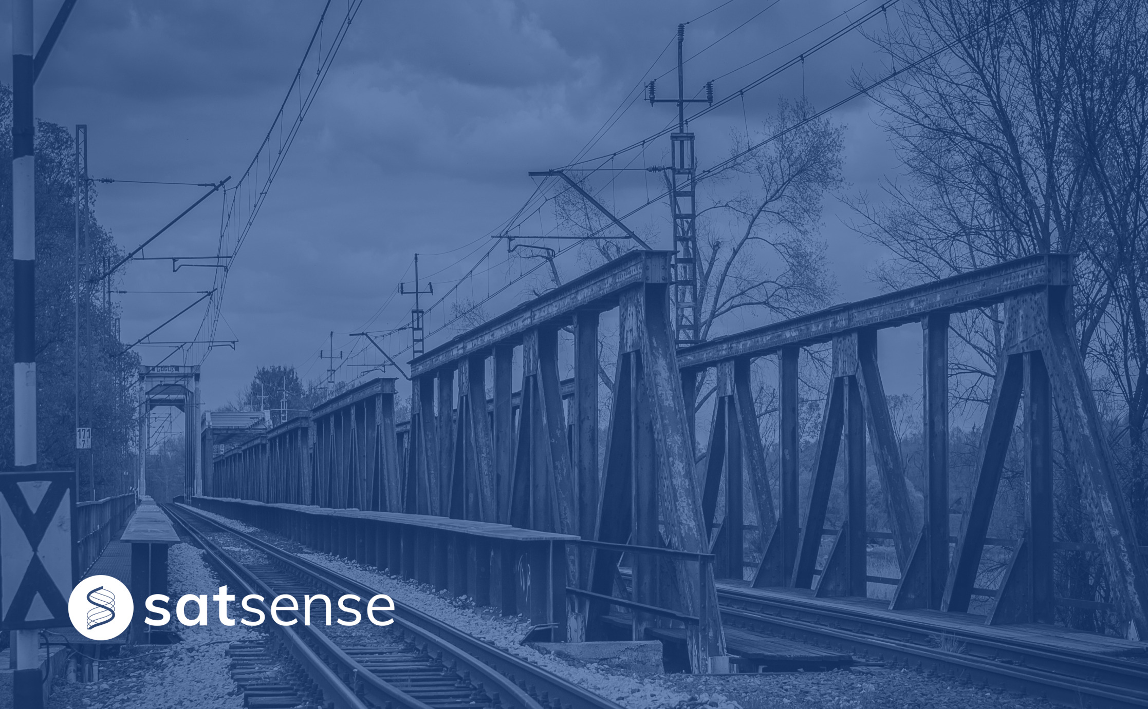
Monitoring Rail Infrastructure Using InSAROperating and maintaining a large rail network requires continuous monitoring and investments around the year which costs dearly, both monetarily and in time. InSAR (Interferometric Synthetic Aperture Radar) not only reduces the time and cost of monitoring but also enables asset managers and engineers to monitor the entire network at scale with up to mm/year level precision.

Revolutionising Infrastructure Monitoring Using InSAR DataInSAR has existed for over three decades, but its commercial applications have increased significantly in the last few years, fuelled by demand from different sectors. Let’s look at how asset managers across different sectors are using InSAR data to monitor their assets and entire networks remotely, but first, let’s understand how InSAR works.
SatSense Gets Contract for the DRIPIN Demonstration ProjectSatSense is pleased to announce the contract award for the DRIPIN Demonstration Project (Determining Risk of Pipe Failure using InSAR) by the European Space Agency, after having completed the corresponding feasibility study.

How can asset managers get the most out of InSAR? As an asset manager, there are several ways to get the most out of InSAR technology for monitoring assets. Here are some tips
How can InSAR data be used in GIS software? Are you an engineer with GIS experience? Ever wondered how you can use InSAR data in a GIS platform such as QGIS and ArcGIS to understand ground movement - read our latest blog to hear more.
7 Reasons Why Civil Engineers Should Be Using InSARHave you considered using InSAR as a complimentary monitoring technique for infrastructure assets, but wondered how it would benefit your monitoring programs? Our recent blog highlights seven key benefits of using InSAR to monitor larger linear infrastructure.
SatSense and GNS Science Partner to Revolutionise Ground Movement Monitoring in New ZealandWe are excited to announce our partnership with GNS Science, New Zealand's leading provider of geoscience services, to offer our readily accessible precise ground movement data for the entire country of New Zealand.
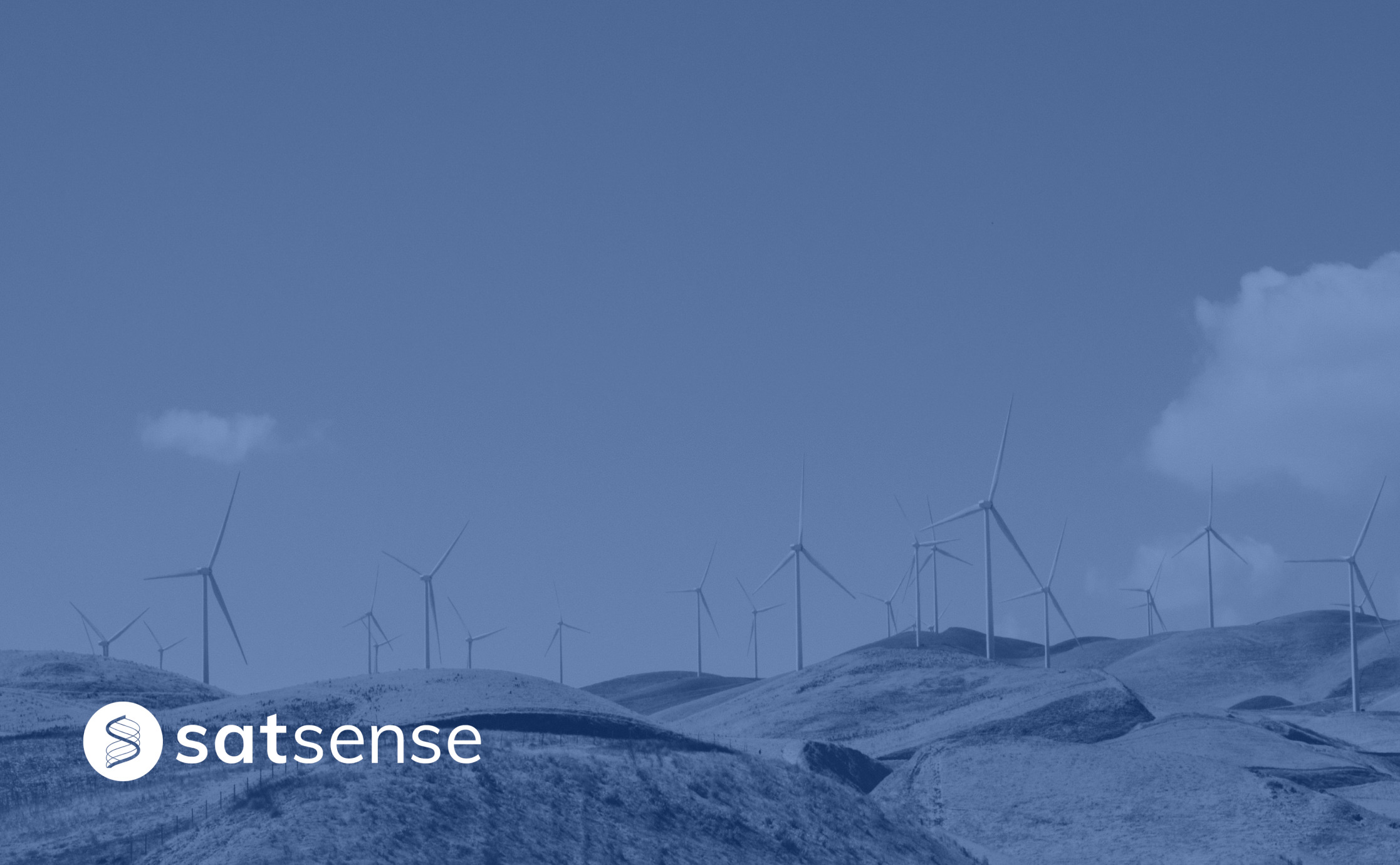
Do Onshore Wind Farms Come with Geotechnical Risk?Onshore wind farms are one of the main contributors to our renewable electricity agenda. But what's their geotechnical risk?
Our Water Networks Handled the Heat Last Time But What About the Next?In light of recent heatwaves, concern is growing about the influence of ground and soil behaviour over the resilience of our water networks.
Analysing Bridge Movement Using Satellite DataAs the number and weights of bridge crossings through time increases, these assets are under more stress than they were first engineered for.
To What Extent Can We Monitor Ageing Infrastructure?We explore why the monitoring of existing, ageing infrastructure mustn't get lost among the noise of new structural developments.
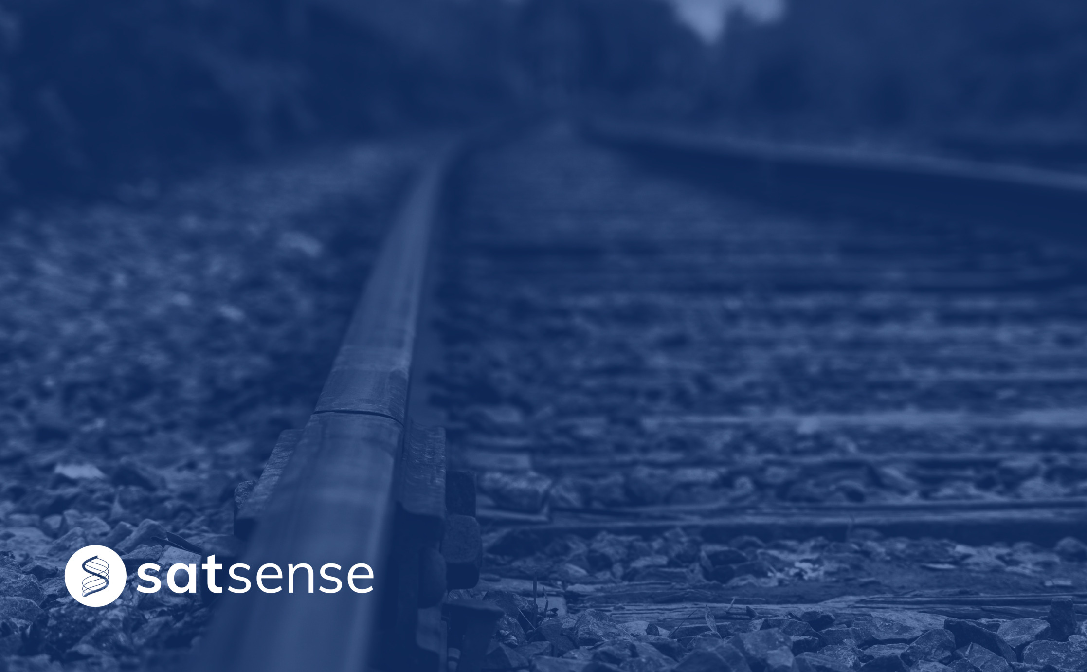
The Climate Change Challenge Facing Rail InfrastructureThe increasing concern of climate change and its effects on the rail network, InSAR can be deployed as a technique to continuously monitor infrastructure instabilities and subsidence risks.

Keeping Rail Asset Management on the Right Tracks with InSARThe smallest ground movement near rail assets can have detrimental effects. Using InSAR as a monitoring technique, quickly identifies trends in the data that signify existing, or potential, ground movement.
Remotely Monitoring Ground Movement for Water UtilitiesThe smallest ground movement near to water assets can have the biggest effects. How can we better monitor ground movement at water utilities?
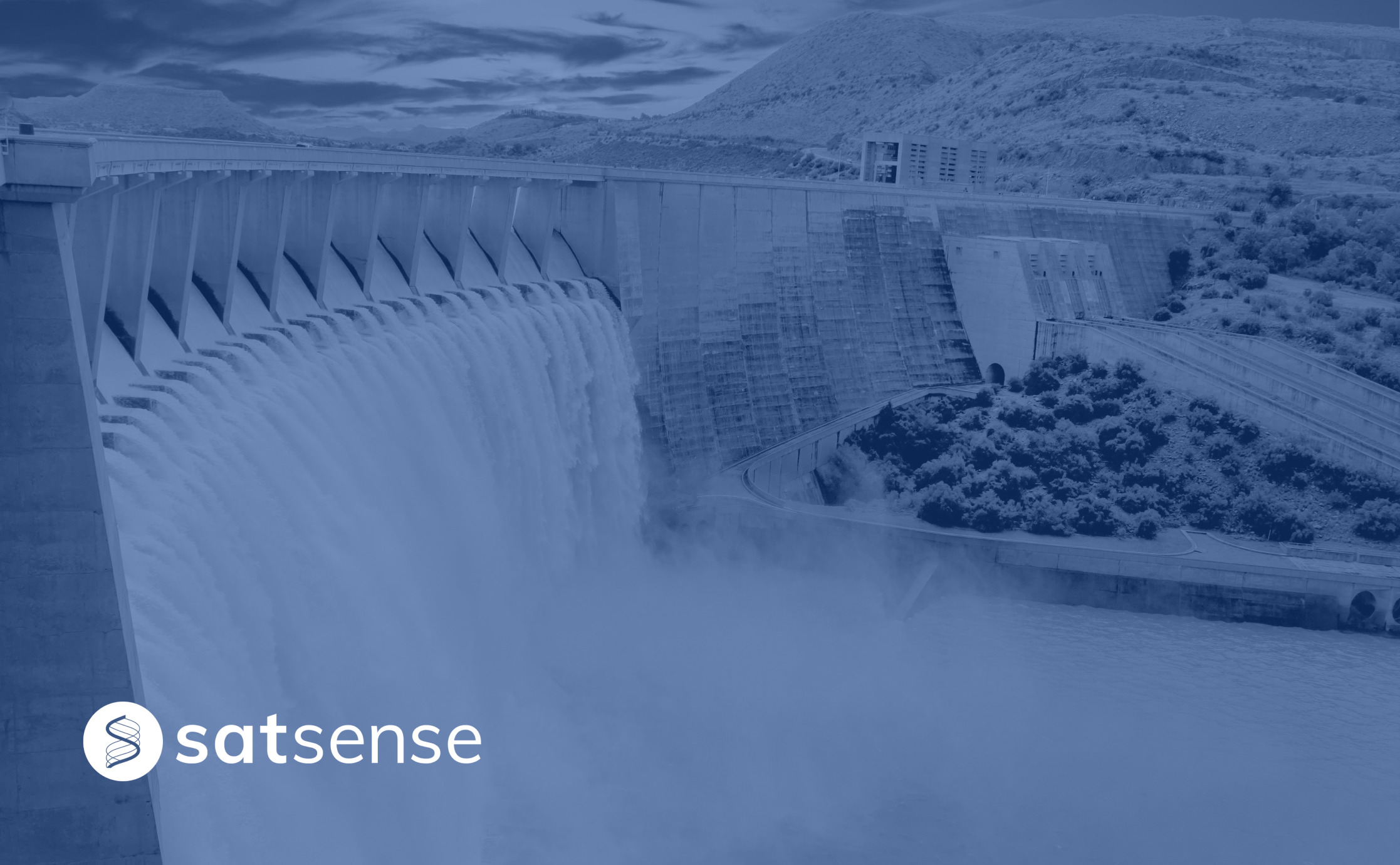
A Damming Dilemma The UK is home to just under 3,000 dams that serve a crucial role in providing water supply for activities like irrigation, drinking, and hydroelectric power, as well as recreational activities. Yet, the majority of these systems we rely on day in, day out, were designed and built tens of years ago, leaving them relatively aged and progressively outdated for purpose.

How Can Asset Managers Remotely Monitor Ground Movement?Ground movement is an underlying factor in asset failure, and traditional monitoring can be resource-intensive. Make way for InSAR technology.
Using InSAR to Monitor Assets in Remote LocationsGround movement can cause significant geotechnical and structural damage to infrastructure. SatSense uses InSAR data to helpnitor infrastructures remotely, even those that are set in challenging locations.
Overcoming Site Monitoring Challenges with InSAROur InSAR technology has most recently been put to the test by Civil and Structural Engineering Consultancy firm, Ramage Young.
Project Update: Using InSAR Data to Monitor Disused Coal Tips in WalesAs part of a joint project funded by the Welsh Government, monitoring of disused coal tips in South Wales using satellite technology is now underway!

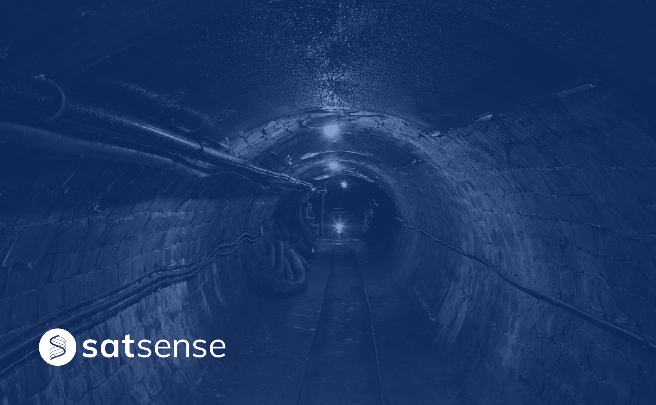
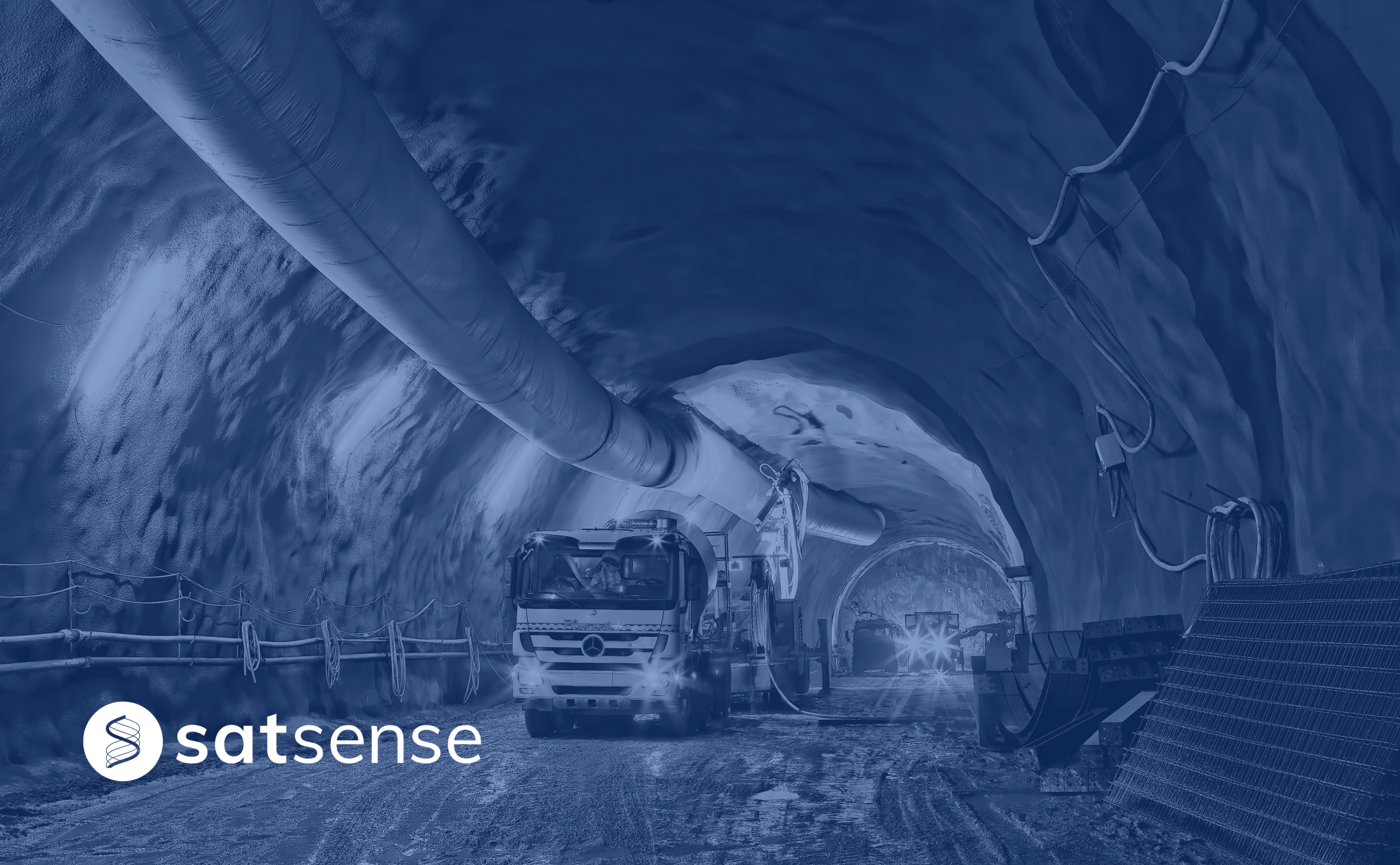
How Can Remote Technology Aid Tunnelling Engineers?Tunnelling engineering needs to ensure maximum safety and minimal disruption. How can remote sensing technology help engineers achieve this?

What Did 2021 Look Like for SatSense?Time flies when you’re having fun… With another 365 days around the sun almost complete, we’re taking a moment to look back on what 2021 had in store for SatSense!

Using InSAR to Monitor Rates of Coastal ErosionRising sea levels are causing significant cliff retreat around the UK's coastline. How can InSAR be used to monitor rates of coastal erosion?
Is it Time to Ground the Extraction of Groundwater?Global groundwater extraction rates exceed replenishment, disturbing underground formations and increasing the vulnerability of ground movement.

SatSense Appoints John McArthur as Chairman to Prepare for Further GrowthSatSense has announced the appointment of John McArthur, previously a founder and CEO of software and data analytics company Tracsis plc, as Chairman.
Dam Important DataIn the United Kingdom dams and reservoirs play a vital role in water utilities conservation but are high risk areas. But SatSense it here to help.

Real Time Data Dashboards and the Future of Smart Asset MonitoringMegastructure asset owners often use manual processes and siloed data sets to collate asset monitoring acumen including insight on ground movement. For large-scale businesses, this can be a costly and challenging process.

LiDAR vs InSARTwo ground-breaking technologies. Two rich histories. LiDAR vs. InSAR – how do they stack up, and are they a match made in heaven?
SatShop Delivers Ground Movement Data at the Click of a ButtonThe SatShop portal gives our customers the ability to access to high quality InSAR data at a click of a button.

The Light at the End of the TunnelMuch of our everyday lives revolve around travel, whether it be shopping with friends, visiting family for the weekend, a commute to and from work or planning the next trip away.
Join SatSense – we’re hiring!We’re an innovative technology company on an exciting growth curve, looking for motivated individuals to join the team.
Analysing movements of the UK’s railway with Network RailOver the course of 2021 and 2022, we're now working with Network Rail, to help them better understand the use of InSAR on the UK’s rail network.
Using satellite data to reduce water leakageWe can announce that we have secured a study with the ESA to help determine the risk of pipeline failure as a result of ground movement.
SatShop portal FAQ’s SatShop is our brand-new, autonomous portal that lets users designate precise locations to receive our InSAR insight on.

Satellite data at your fingertipsInSAR has the potential to revolutionise multiple industries. SatShop redefines the customer journey by putting power and usability back into your hands.
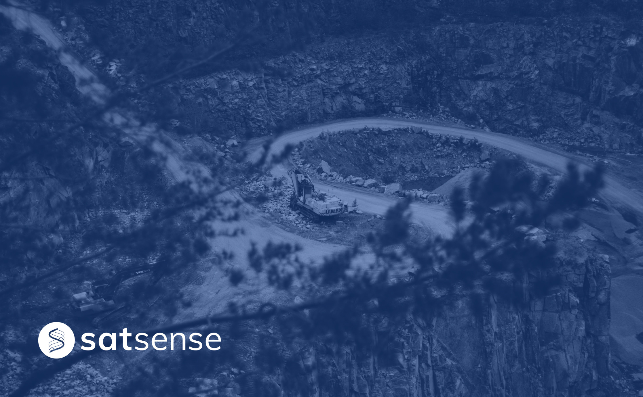
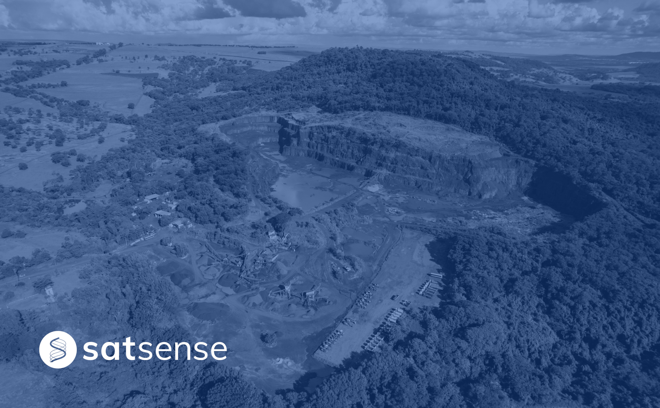
Avoiding mining disasters with InSAR dataEven small ground movements can lead to catastrophic events. InSAR data aids engineers when assessing the structural integrity of mines.

Using SatSense data to accelerate your geotechnical desk studyAs you compile desk study reports, difficulties will inhibit you. Using our complete data set helps you generate a report easily and quickly.

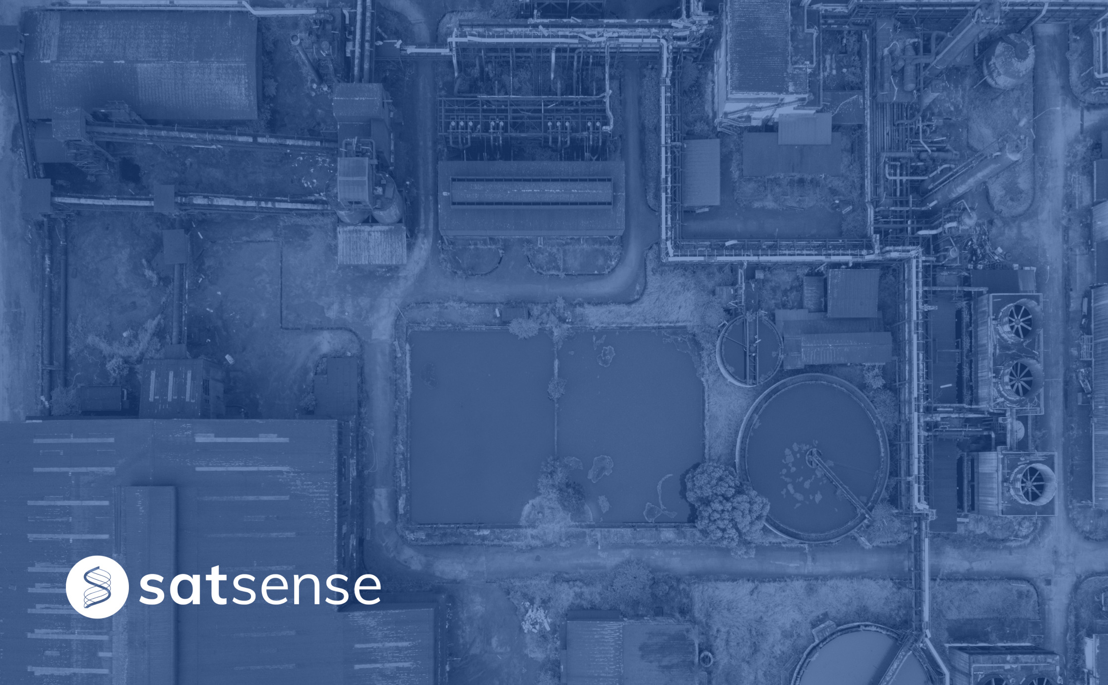
Water treatment works expansionSevern Trent water wanted to increase the capacity their waste-water treatment plant, AECOM came to us for their expansion assessment.
Using InSAR data to magnify insight in previously unsighted industriesInSAR is an efficient way to measure changes in land surface altitude. It can provide clearer insight into ground movement velocities.
Ways to improve InSAR data coverageSAR data is available almost everywhere around the globe, which means InSAR is ideally suited to monitoring ground movements at scale.

Automatically detecting movement of infrastructureVital infrastructure networks in the UK require monitoring and maintenance, but the size of these networks makes the task challenging.
Getting ground movement direction out of our dataUsing InSAR to measure horizontal and vertical movement in addition to the more commonly observed ‘line of sight’ geometry gives greater insight into behaviour of the ground.
Creating the SatSense Data PortalOur data portal allows people interested in InSAR to explore the data without downloading specialist tools. Our developer Mike discusses the project.
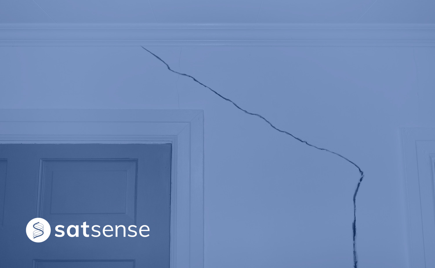
Detecting House Subsidence Using Satellites and InSARSatellite radar (InSAR) used to measure, predict and monitor subsidence on a large scale, for the benefit of buyers, insurance, house conveyancing.

Risk indices for detecting ground movement issues using InSARSatellites and InSAR can detect ground movement issues such as subsidence when risk indices analyse movement over different temporal and spatial scales.
Detecting sinkholes from spaceSinkholes represent an especially dangerous type of ground movement type, as they are fast moving, occur over relatively short time scales, and are limited in spatial scale. Subsidence around the sinkhole was picked up by the SatSense property damage risk product.
How SatSense stays ahead of the curveAt SatSense we ensure we provide the best quality and and best covereage InSAR data resulting in accurate ground movement and subsidence monitoring.

Matt reflects on joining SatSense and says a bit about himselfIt's an exciting time - finished pre-processing ground movement (InSAR) data for the whole of the UK. World-leading algorithms give us far more measurement points and coverage using freely available Sentinel-1 satellite data. Currently busy creating a new interface to allow customers to automatically query our dataset for a set of risk indices to show likelihood of ground movement