Our Services

Assess, Monitor, Alert
Once ground movement has been identified, it needs to be analysed to determine the severity of the concern. With industry-specific metrics and colour-coded velocity maps, we can help you to quickly rank ground behaviour in order of risk to supplement key business decisions.

Countrywide Mapping
Access high-precision ground movement data across entire countries, in near-real-time, with weekly displacement updates.

Accessing Data
Accessing ground movement data derived from satellites has never been easier. Hear the different ways you can access and integrate this dataset into your existing workflows.
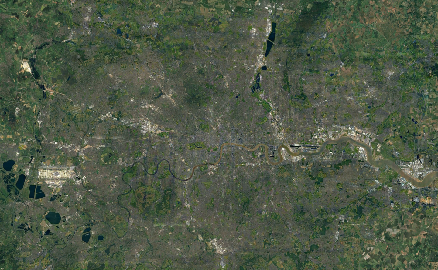
Regional Subscription Services - United Kingdom
Access detailed ground movement insights for specific regions, with weekly updates to support timely and informed decision-making.

Regional Subscription Services - Permian Basin (USA)
Permian Basin InSAR Monitoring Service