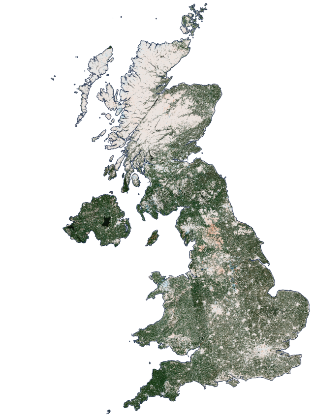
Countrywide Mapping
Precise Ground Displacement Data
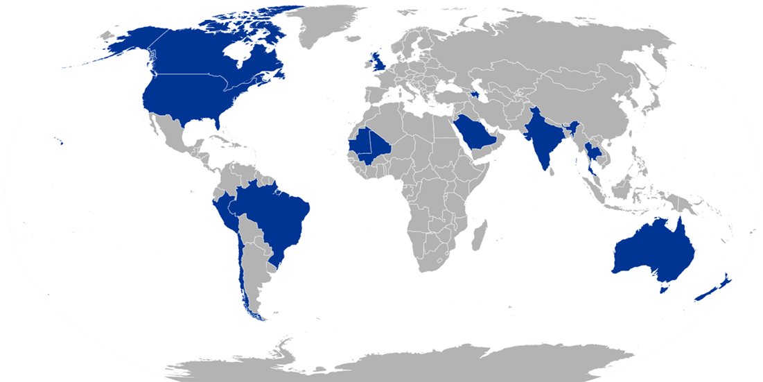
Taking Data Worldwide
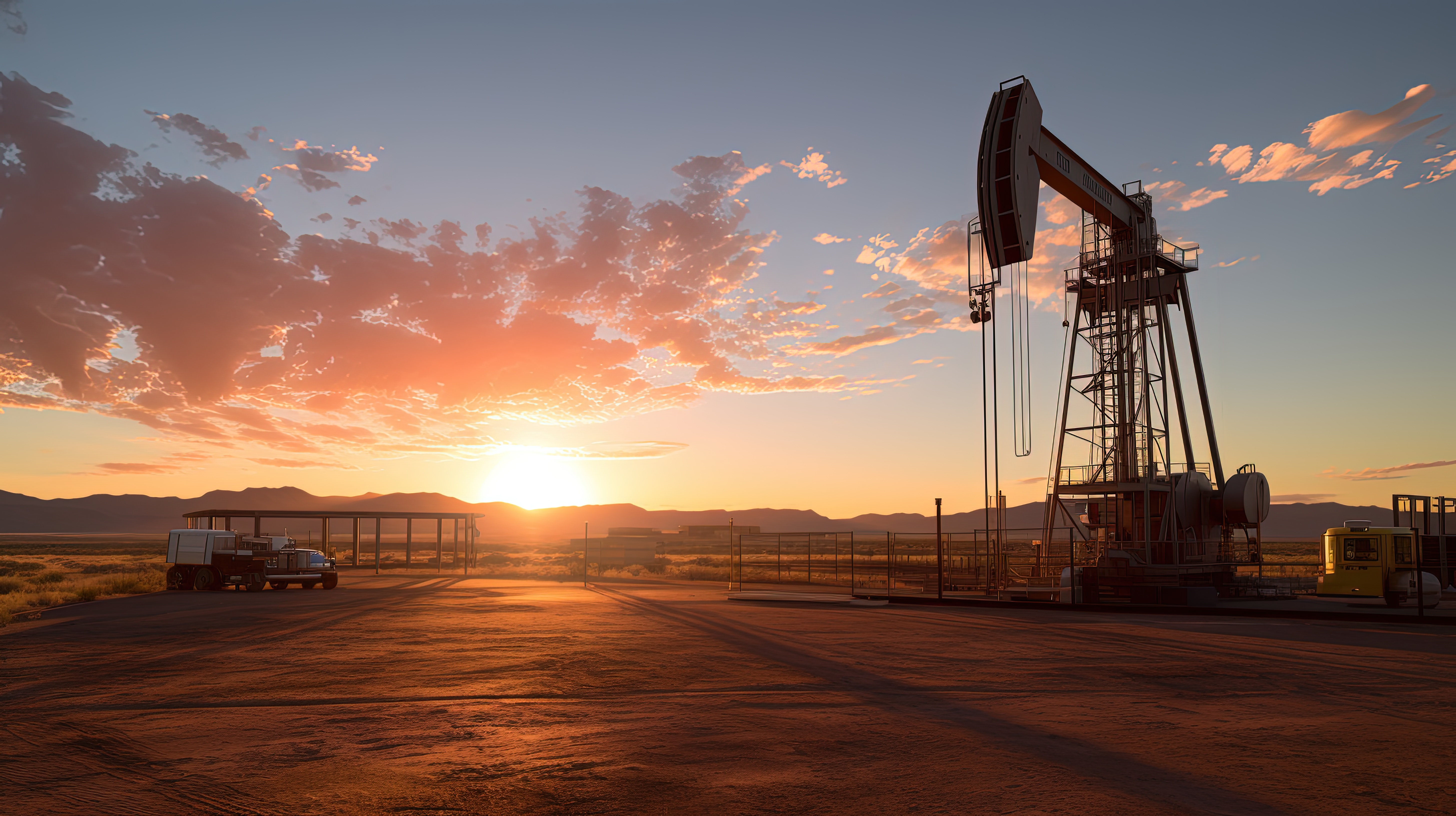
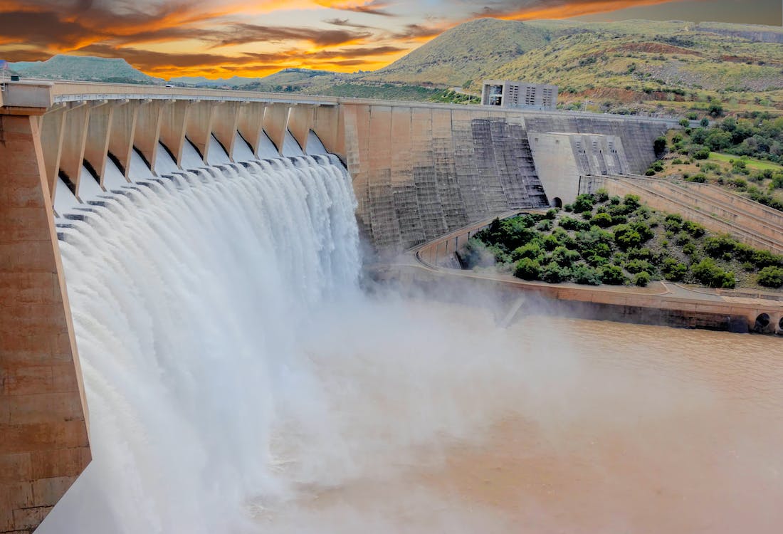
The rolling hills of the Lake District? The barren sands of the Sahara? The perishing climes of South America? Wherever the asset, network, or location of interest, we can help you identify and assess potential ground movement risks. Receive high-precision ground displacement data from late 2014 to the present day, letting InSAR power your activities that span entire countries.
Keeping entire countries under continuous watch
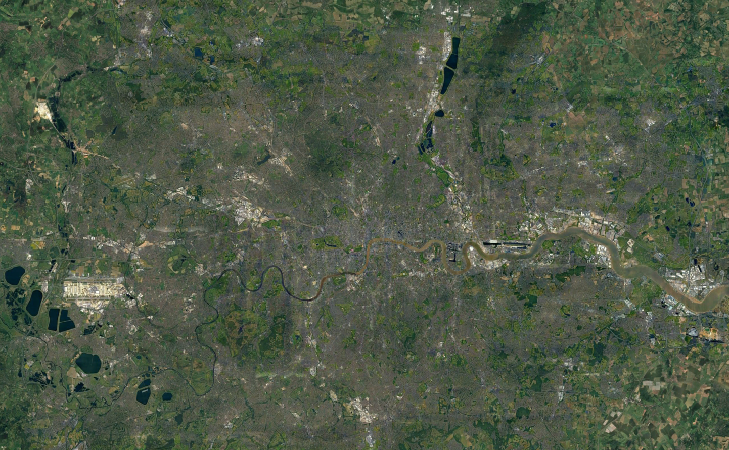
Every 6 to 12 days, InSAR data is processed by us for much of the world as part of our ongoing ground monitoring service. The UK is one of the countries we keep continually updated, and make readily available via our data portal, SatShop.
This means data from areas of interest within your ground investigations is continuously updated. We can easily integrate this into your existing database or GIS system, providing you with a continuous monitoring solution as close to real-time as possible.
Check out the countrywide mapping for:
Information Derived from Countrywide Mapping
Providing tangible intelligence and almost real-time insight on the rate of ground movement, countrywide mapping is a powerful tool for a range of activities that affect entire nations. Our bespoke risk indices can provide further levels of insight into shrink/swell soil potential or mining related subsidence. Additionally, ground movement data and/or risk indices can be combined with other layers of data, such as fault maps or landslide mapping to produce a more holistic view.
Utilities. Insurance. Infrastructure. Government agencies. No matter your industry, there's an application for InSAR countrywide mapping.

Support economic analysis

Inform policy making

Aid emergency responses to recurring events

Provide result based strategies
Advising investment areas
The InSAR technique measures displacement of both the ground surface or the objects on it. Datasets can be used to learn more about the behaviour of ageing infrastructure and assets, helping to prioritise remedial works and maintenance. Alternatively, at the initial planning stages of new infrastructure, information about potential geohazards, like landslips, settlements, and slope instabilities is needed before work can begin.
How are InSAR Datasets Shared?
Delivery of ground displacement data is bespoke to your organisation's needs. Due to the sheer scale of datasets produced by countrywide mapping , it's a collaborative approach to determine the most appropriate ways to share the retrieved data. Options include:
- Cloud-based folders
- Application Programming Interfaces (API)
- Web Map Service (WMS)
SatShop
You can also access data via SatShop, our one-of-a-kind self-service portal. SatShop lets you produce datasets at speed and with ease, putting the power of InSAR into your hands.
Discover SatShop