Accessing Data
Harness the Power of InSAR
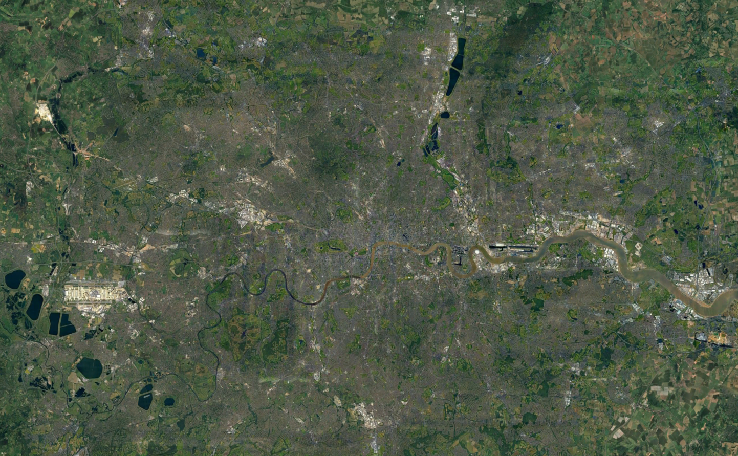
Ground Movement Data for Different Needs
High-resolution. Updated every six days. Accurate to +/-1mm. When applied to a sector correctly, InSAR datasets are one of the most powerful tools to:
- Aid ground investigations
- Inform decisions within asset management
- Signpost preventative maintenance priorities for infrastructure
And the majority of that power lies within how the data is accessed.
Integrating Data into Existing Databases
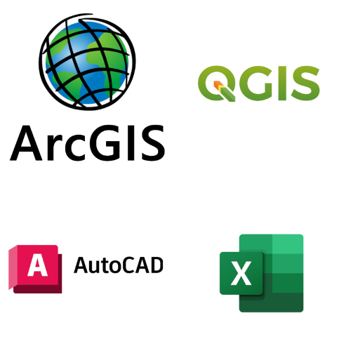
Our InSAR datasets can be easily integrated to your existing database for ongoing monitoring, thanks to compatibility with:
- APIs
- WMS
- ArcGIS
- QGIS
- Excel
- AutoCAD
- BIM software
- And more!
So, whether your ground movement investigations are part of a small, independent construction project or scaled nationally to monitor infrastructure over an entire country, we've got a data access option suited to your task!
How to Access Ground Movement Data
Discover the most appropriate way to access InSAR data for your ground investigation scenario
One-off Projects
For small projects, you can either:
1. Self-serve
Visit our SatShop and draw your area of interest. For 2 weeks, you'll have access to automatically-generated velocity maps and displacement time-series for this area, which can be downloaded via shapefile or CSV and integrate into your GIS or data systems.
2. Come to us direct
Contact our team of specialists with your area of interest. We'll retrieve, process, and email you the ground displacement data in a shapefile or CSV that you can integrated into your GIS or data systems.
Multiple Areas
This type of task requires full customisation! Contact our team to obtain an API key before uploading your GeoJSON file.
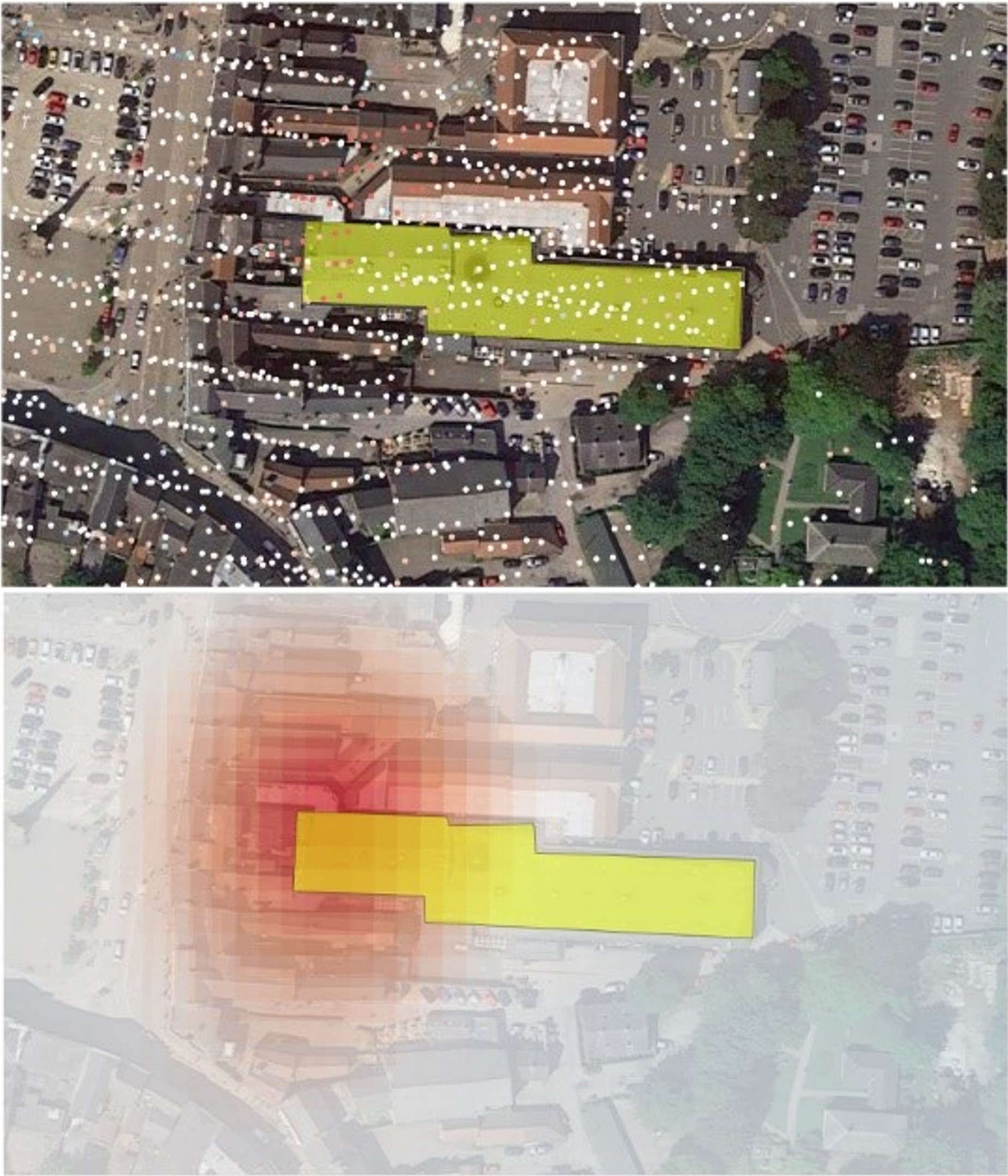
Our specialists will supply you with an array of points covering the requested area in JSON format. Each point has a unique ID, velocity value, displacement measure, and co-ordinate.
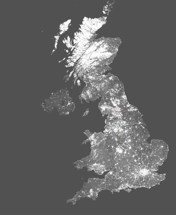
Countrywide Mapping
For monitoring activities that span an entire country, our web-mapping service (WMS) is the quickest and easiest way to integrate InSAR data with your existing databases.
Once you've contacted our team, we'll provide you with a WMS layer that includes velocity points and displacement time-series that can be further analysed and queried with our SatSense plugin.

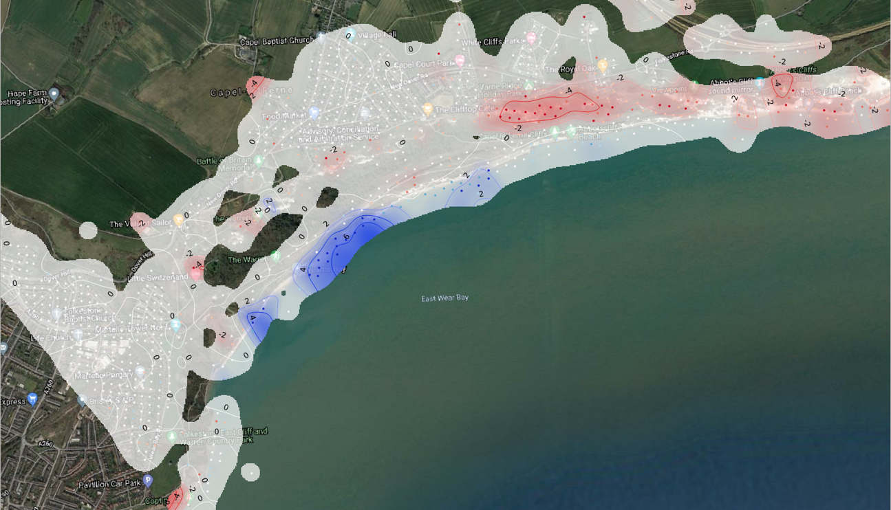
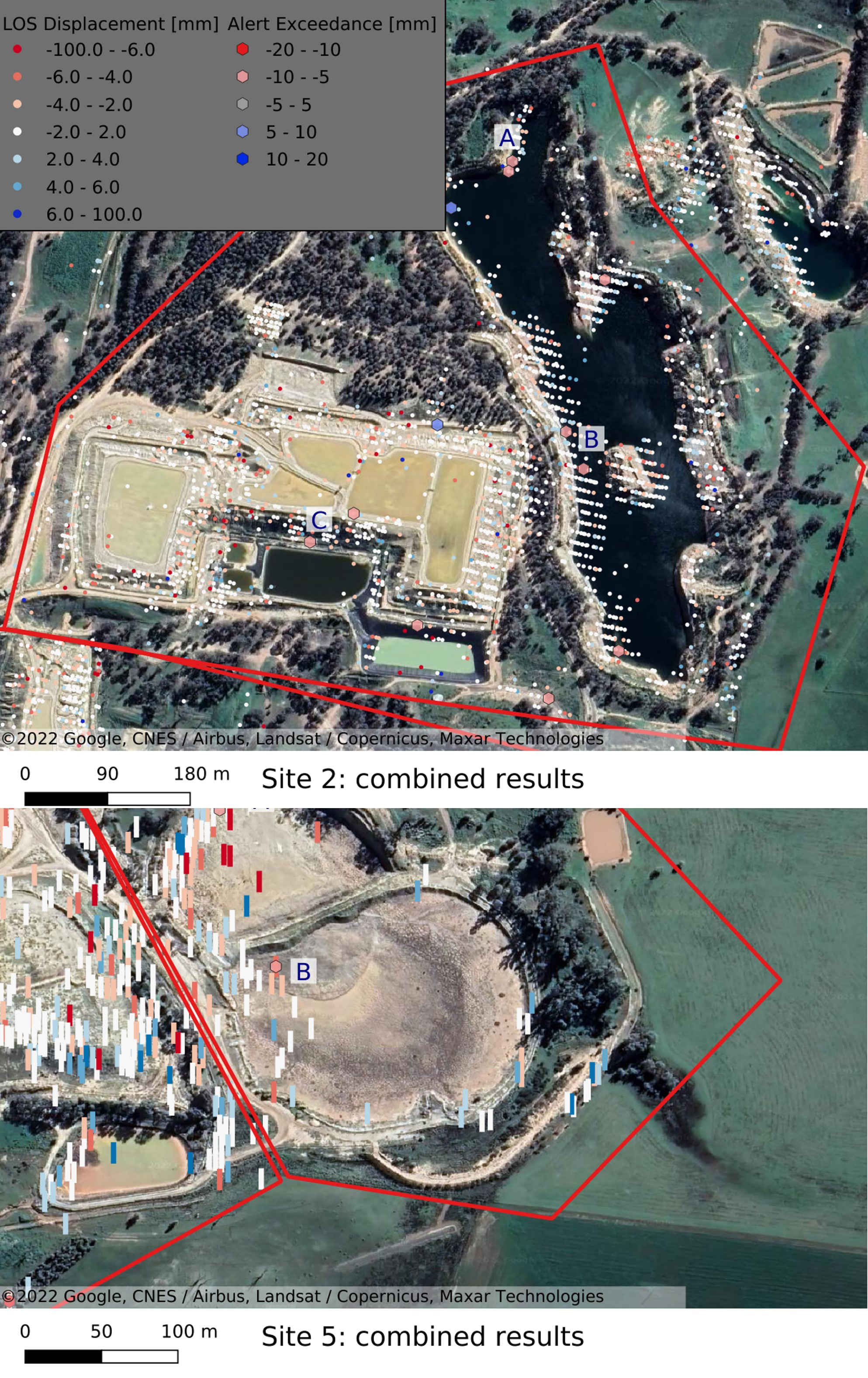
Interpreting InSAR Datasets
At first glance, an InSAR dataset can seem rather overwhelming thanks to the sheer amount of granular detail you've now got at your fingertips. Panic not! Our expert team are on-hand to explain the types of ground behaviour your displacement data is presenting, meaning you can quickly identify concerning movement over individual assets or entire cities.
About Us