Our Sectors
Geotechnical
Using SatSense's historical ground movement data allows geotechnical risk to be identified at project inception, and with ground movement data updated every week, ongoing monitoring of assets and projects can be performed without the need to step foot on-site.
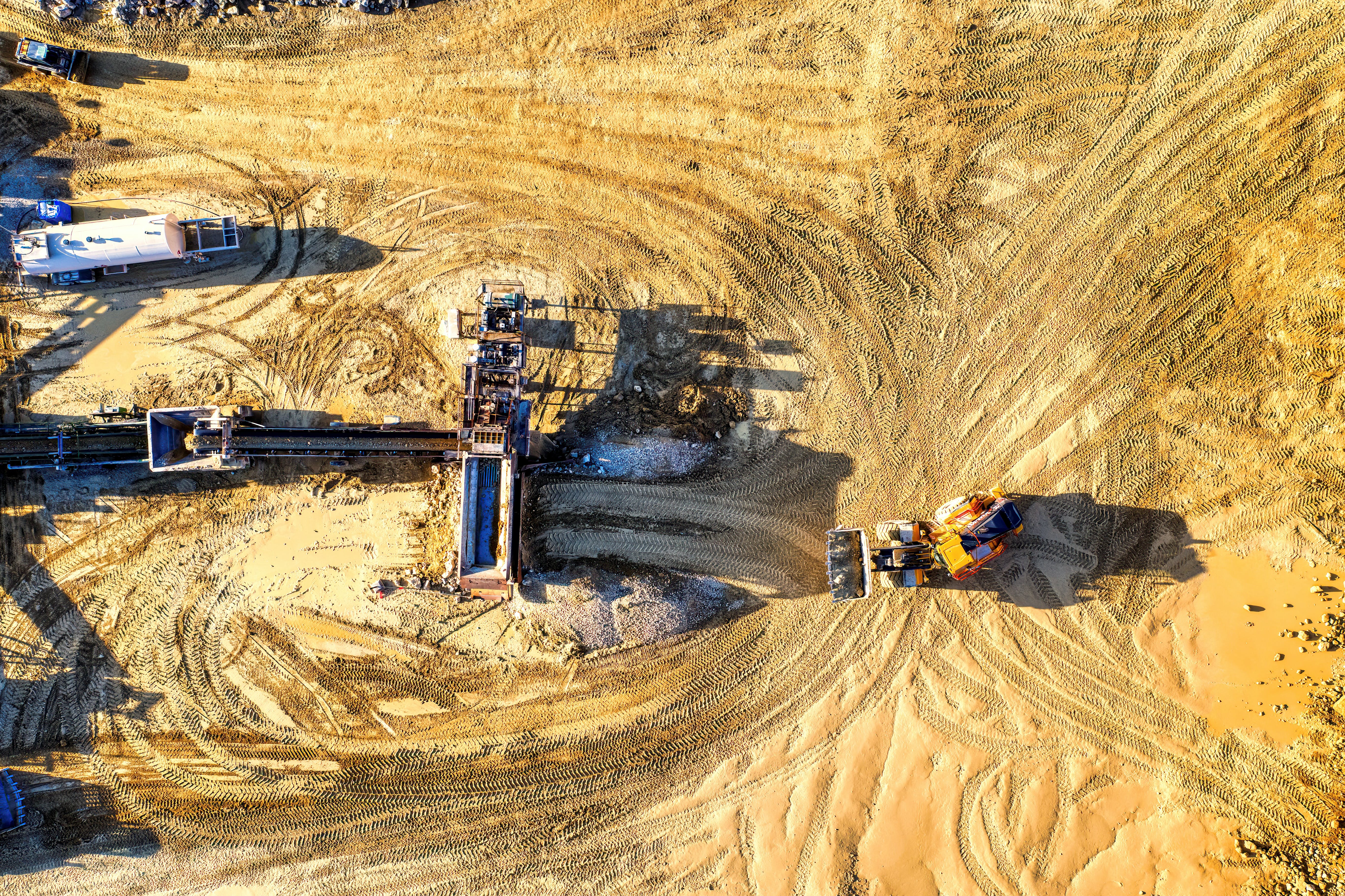
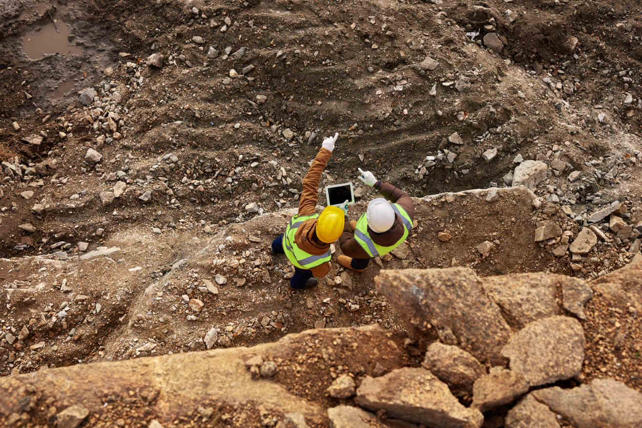
Mining
Detect Ground and Structural Movements Over the Entire Mining Site Remotely with InSAR.
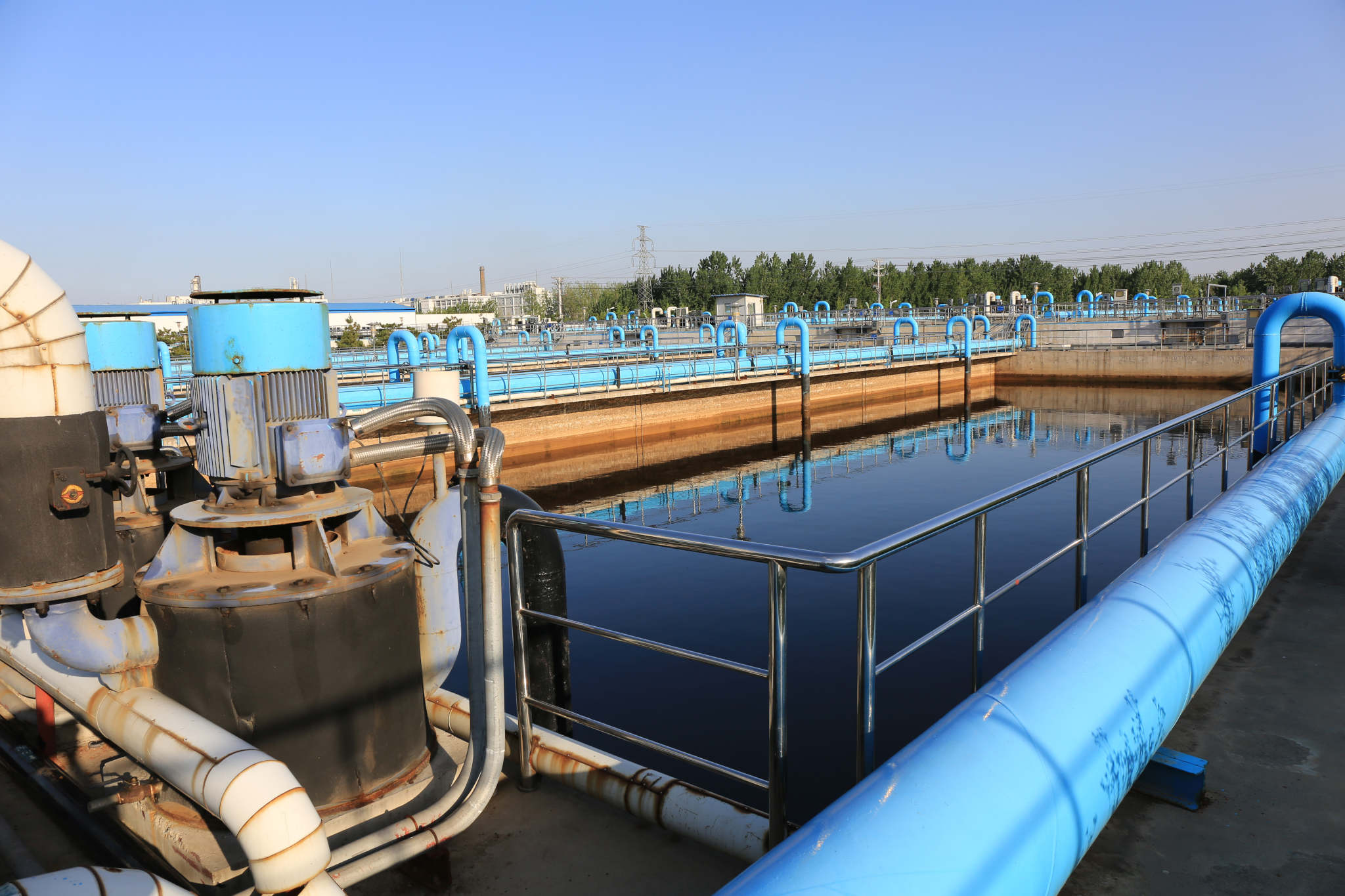
Water Utilities
Water utility companies around the world are using our products to improve their services. We identify sections of their pipeline networks most at risk of failure as a result of ground and structure movement. We are also actively monitoring specific assets such as reservoir embankments and dams.

Property and Insurance
Ground displacement at property and building level is costly to owners, occupiers, and insurance companies. Find out how we use satellite radar technology to increase visibility over movements, like subsidence, to support purchases and claims.

Transport
From entire transport networks to individual bridges. Ageing railways and highways to newly constructed earthworks. We can monitor small and large-scale infrastructure to identify, assess, monitor and alert you to movement risks across your network. Helping to prevent downtime and improve resilience.
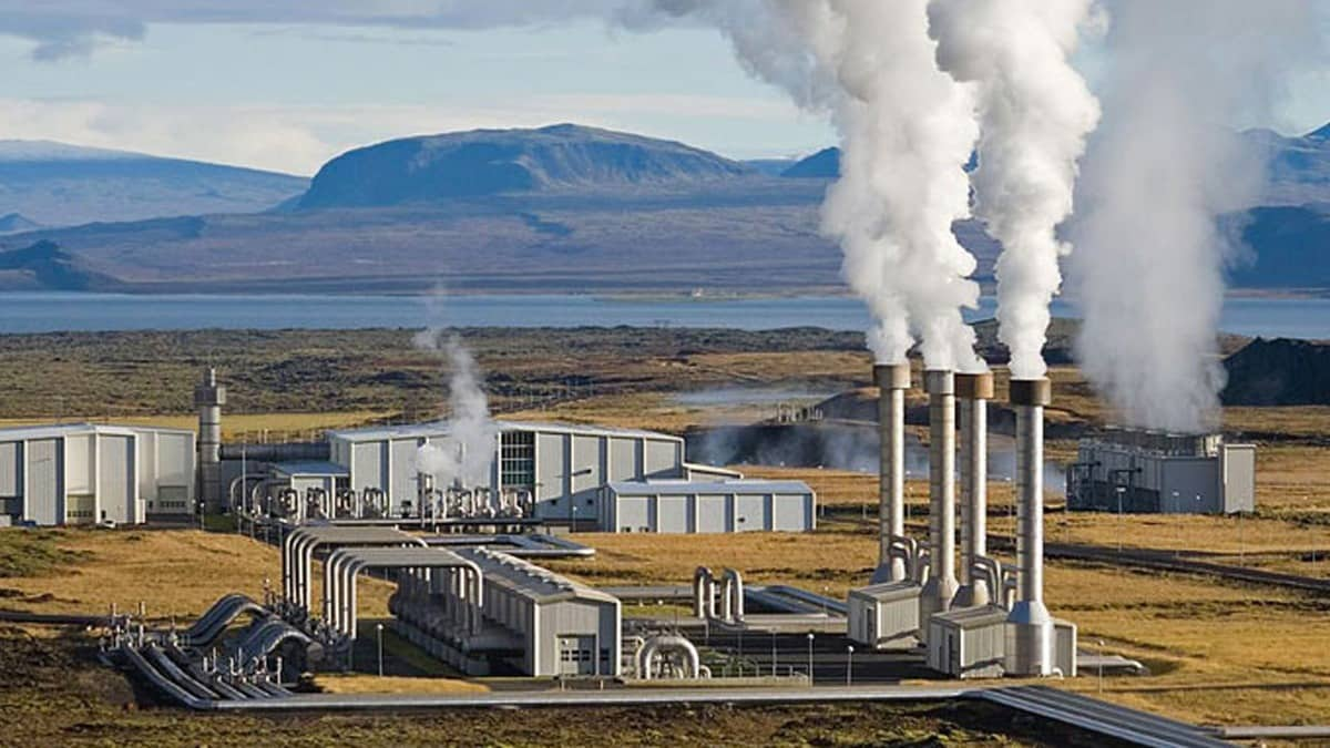
Energy
SatSense provides precise ground movement monitoring to support the safe and efficient management of oil, gas and geothermal energy production and storage. Our InSAR technology helps mitigate risks associated with subsidence, seismic activity, and infrastructure stability, ensuring efficient and safe operations.