Water Utilities
Identify sections of pipeline most likely to fail, and monitor your assets
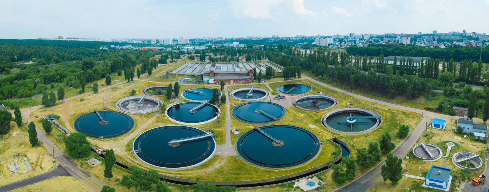
Scope of Water Utility Companies
An immense amount of infrastructure is owned, operated and maintained by water utilities. In the UK alone there are:
- Over 400,000 km of water mains
- Over 390,000 km of sewers
- 5,950 service reservoirs
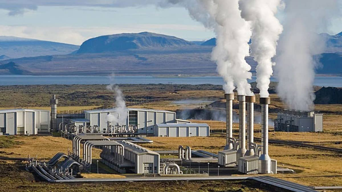
- 1,433 water treatment works
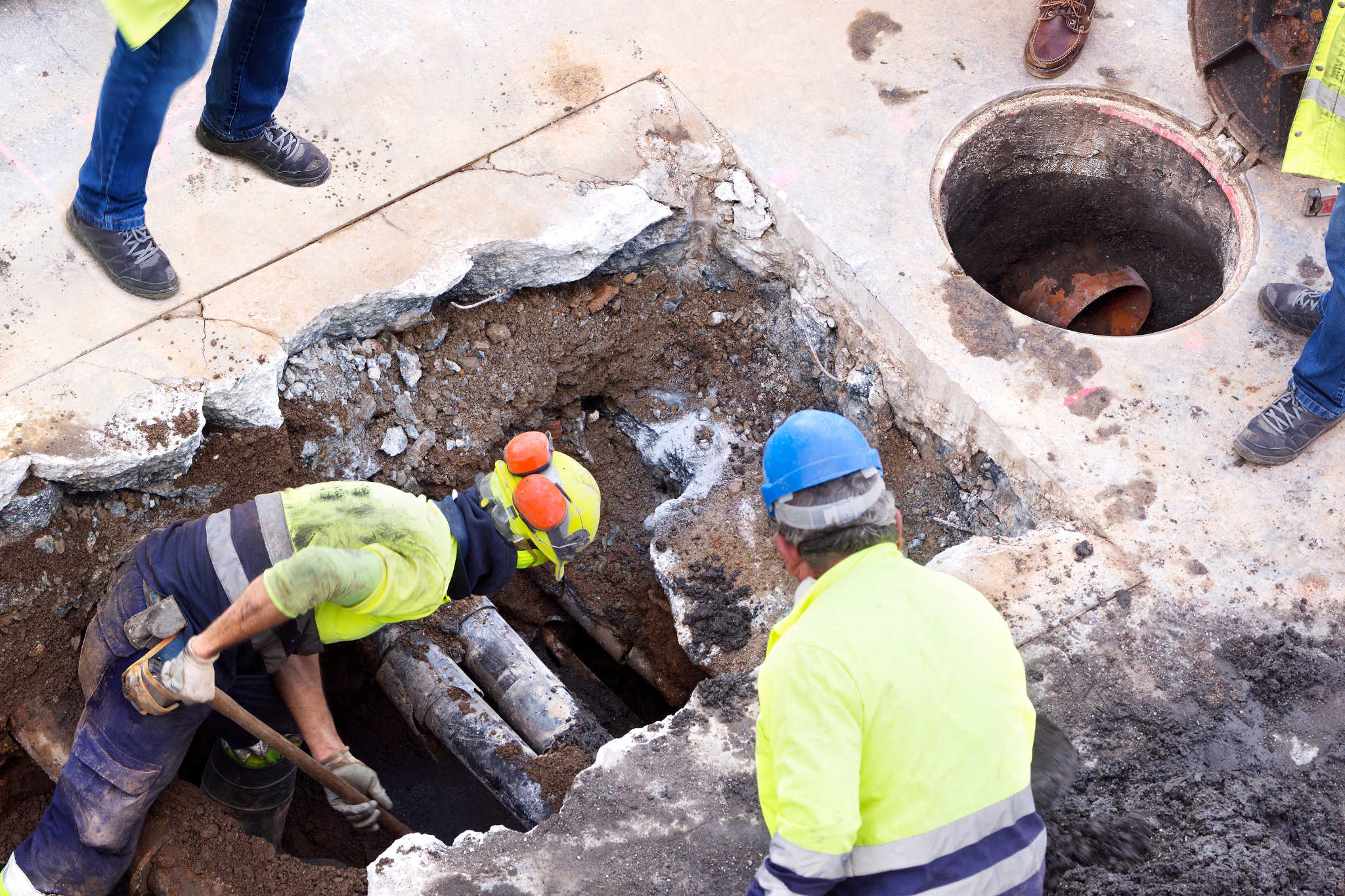
These assets, essential to life as we know it, are all susceptible to the effects of ground movement.
- Soil shrink-swell fluctuations are one of the main contributors to burst pipes.
- Dams are particularly prone to slope deterioration or failure.
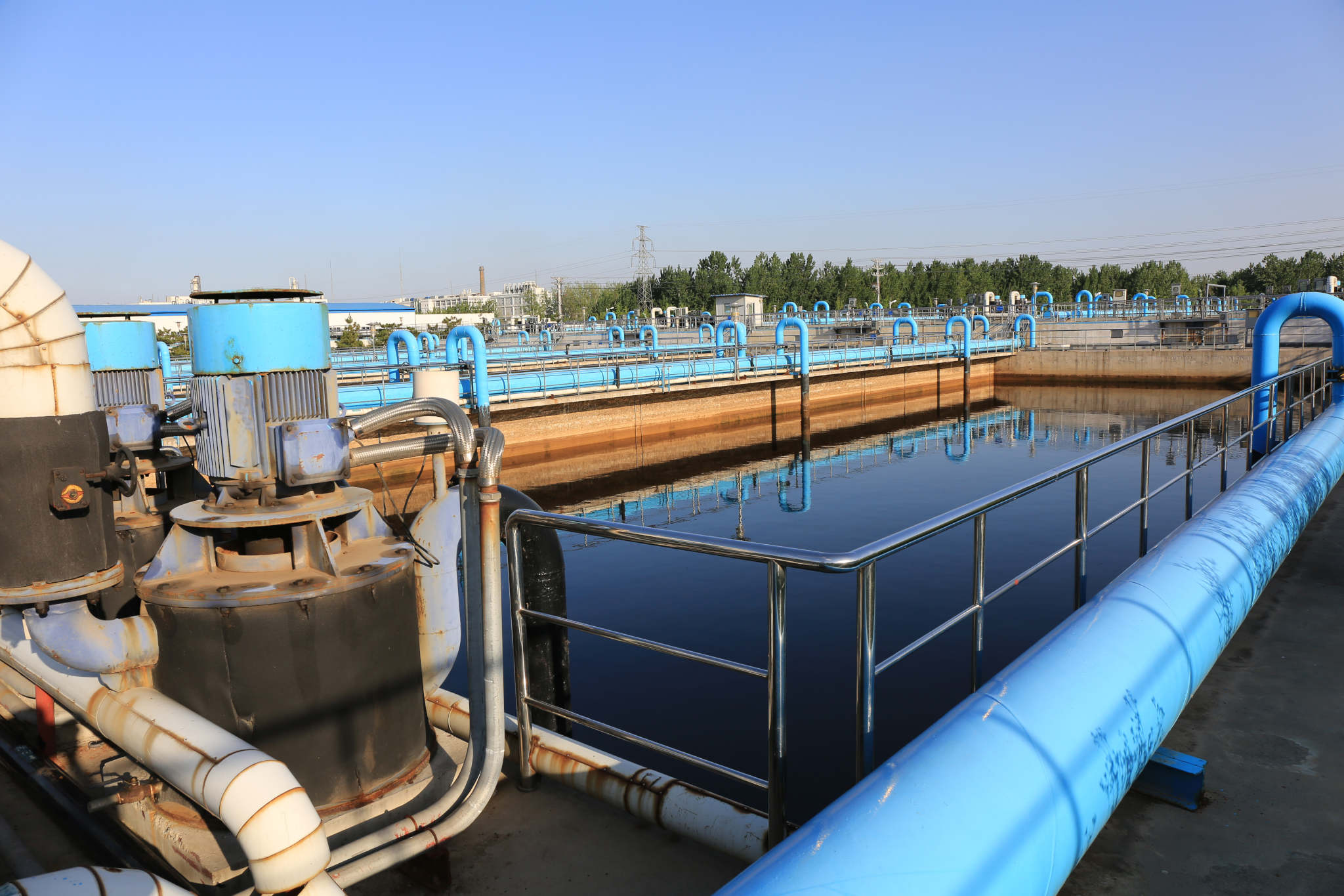
- Subsidence can damage a water treatment works, stalling critical activities.
But, all of these assets can benefit from InSAR technology.
Knowledge is Power
Let us ensure you stay informed of ground behaviour over any water asset! Whether it's an expansive pipe network over an entire country, or a specific area of a reservoir, our InSAR technology can convert both current and historic satellite imagery into insightful datasets.
- Continuous monitoring of an asset's state
- Identifying patterns in ground movement behaviour to inform decision-making
- Aiding knowledge on the impacts of changed variables, like extreme weather conditions
- Proactive prioritisation of water assets in disrepair
- Supporting predictive maintenance
When you know which of your assets are experiencing ground movement, you're better equipped to minimise the risk of any detrimental effects.
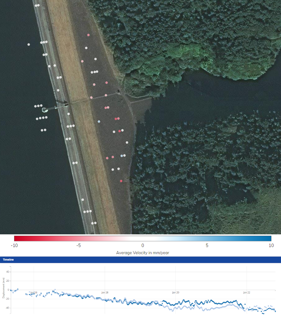
Monitoring Dams and Embankments
Dams have been constructed for the past 5000 years and remain one of the most critical components of our water infrastructure to this day. So, regular inspection is a must, allowing any sign of structural deterioration to be identified and rectified before a bigger problem forms! Measuring rates of movement as minimal as a single millimetre per year, our InSAR technology has been applied across numerous dams and embankments to aid identification of new or ongoing issues.
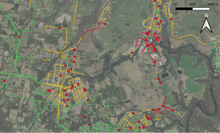
Make Strategic Decisions by Combining Machine Learning and InSAR
Pressure surges, extreme heat or cold - there are many reasons a pipe could burst, and ground movement is one factor that contributes to failure. By combining our ground movement data into risk models and running machine learning algorithms, we've increased the ability to predict bursts by as much as 46%.
Our bespoke processing means ground movement over entire networks is easily accessible and up-to-date to form a vital piece of information for pipefailure risk modelling. This data can be integrated into strategic risk modelling or operational workflows for long term strategic and short-term operational decision making.
On the left we see a specific ground movement map that shows pipes coloured by the value of an SRISK analysis metric. Red diamonds show recorded leaks/bursts. Areas of highest risk for this risk metric are highlighted in red, orange indicates moderate risk, green indicates lowest risk. The map shows a correlation between bursts and higher values of the SRISK score.