Energy
InSAR monitoring for the energy sector
Remote Reservoir Surveillance
Extraction and injection of fluids in the subsurface can cause subsidence and uplift at the surface. Energy companies globally have been using InSAR data for precise wide-area monitoring of ground movement for over a decade. From monitoring reservoir dynamics to ensuring pipeline integrity, InSAR helps mitigate risks, improve safety, and enhance operational efficiency across the energy sector. SatSense continuously updates surface movement data at the asset, field or basin scale. Depending on the asset monitoring requirement, we can configure parameters such as spatial resolution, wavelength and frequency of image acquisition of SAR satellites.
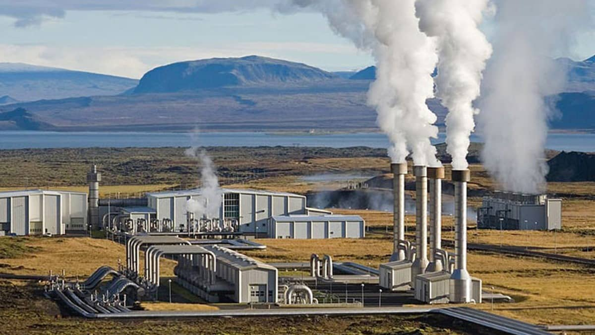
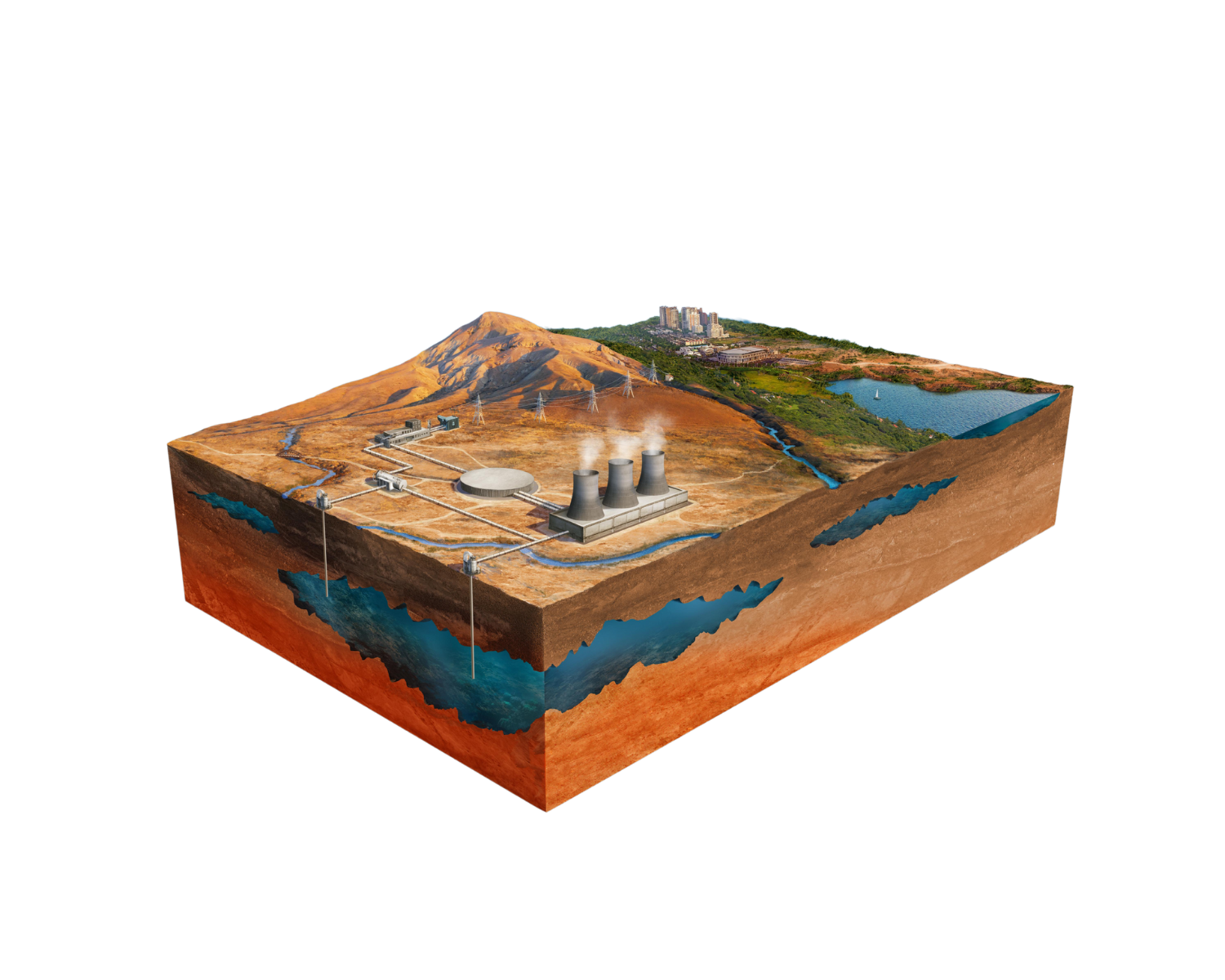
Image: Three-dimensional model of a geothermal field with surface facilities and underground pipelines, illustrating how InSAR helps track ground movement

Accessing the data
Discover data over your asset in the SatSense portal – SatSense’s web-based GIS platform optimised for analysing InSAR data over wide areas. Alternatively, our InSAR datasets can be easily integrated into your existing reservoir management or modelling software via an API or data download in multiple file formats.
Exploration & Production
Detect subtle subsidence and uplift patterns to:
- Monitor reservoir dynamics: Understand how reservoir pressures and volumes are affecting the surface and where fluid is flowing.
- Calibrate reservoir models: Improve models by incorporating precise quantitative ground movement data.
- Optimise production strategies: Identify areas where production techniques need adjustment to avoid unplanned shutdowns, equipment failures or risks to the environment.
- Ensure operational safety: Detect early signs of potential hazards such as casing failures around active production areas.
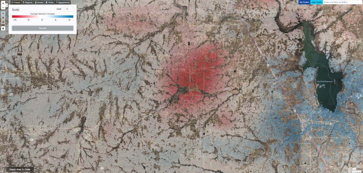
Image: Wide area subsidence (red) and heave (blue) in the Permian Basin, Texas, associated with oil production and saltwater injection.
Pipeline and Infrastructure Integrity
Monitor pipeline corridors, energy processing facilities and associated infrastructure for potential hazards to ensure operational reliability:
- Identify differential displacement: Detect areas with high displacement gradients which can lead to stress and potential failure of an asset.
- Landslide detection: Monitor slopes and terrain for early warning signs of landslides that can compromise critical infrastructure.
- Subsidence and uplift tracking: Pinpoint areas of ground sinking that may compromise pipeline stability.
- Proactive maintenance: Schedule timely inspections and repairs to reduce the risk of costly downtime or environmental damage.
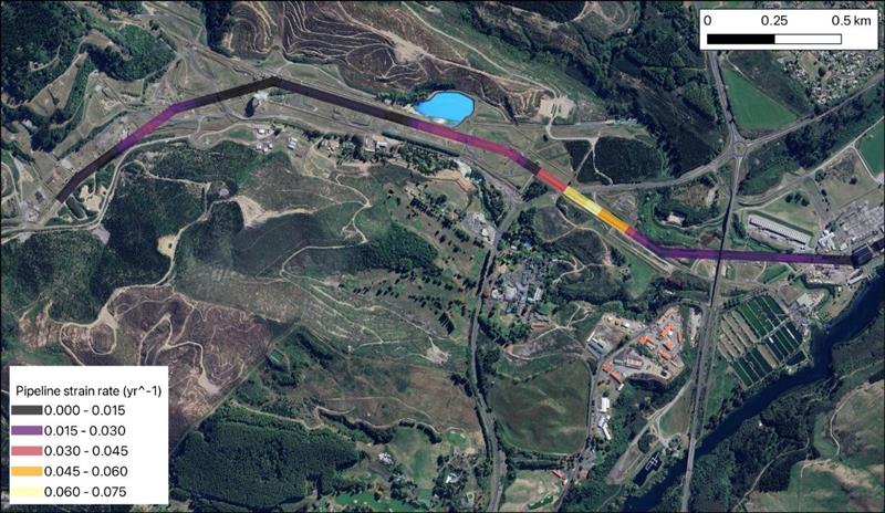
Image: Strain rate of a pipeline that crosses a geothermal field in New Zealand, calculated from 9 years of InSAR data.
Safeguard renewable energy infrastructure by monitoring ground stability:
- Wind farms: Identify ground deformation that could impact turbine foundations or access routes.
- Solar installations: Detect instabilities affecting large-scale solar panel farms, particularly for those built on brownfield sites.
- Site planning and assessment: Use historical InSAR data to evaluate terrain suitability before construction.
- Long-term monitoring: Ensure the stability of assets over their operational lifetime to maximize returns.
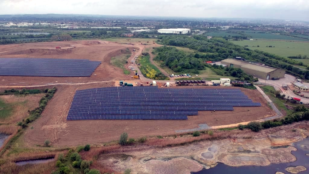
Image: Solar farms are often constructed on brownfield sites such as historical landfills as shown in this image
Gas Storage & Geothermal
Track surface deformation in response to subsurface activities to validate safety and effectiveness:
- Gas storage integrity:Monitor injection sites for uplift or subsidence that provide insight into the gas flow pathways underground, or unexpected deformation patterns could reveal leaks, allowing early intervention.
- Geothermal systems: Detect ground deformation caused by fluid extraction or injection processes.
- Reservoir integrity: Confirm reservoir containment and stability over time.
- Verification for regulatory compliance: InSAR data provides objective, high-resolution evidence of compliance with environmental and safety standards. Historical InSAR data establishes a baseline for detecting changes post-injection, supporting long-term stewardship of CO₂ storage site
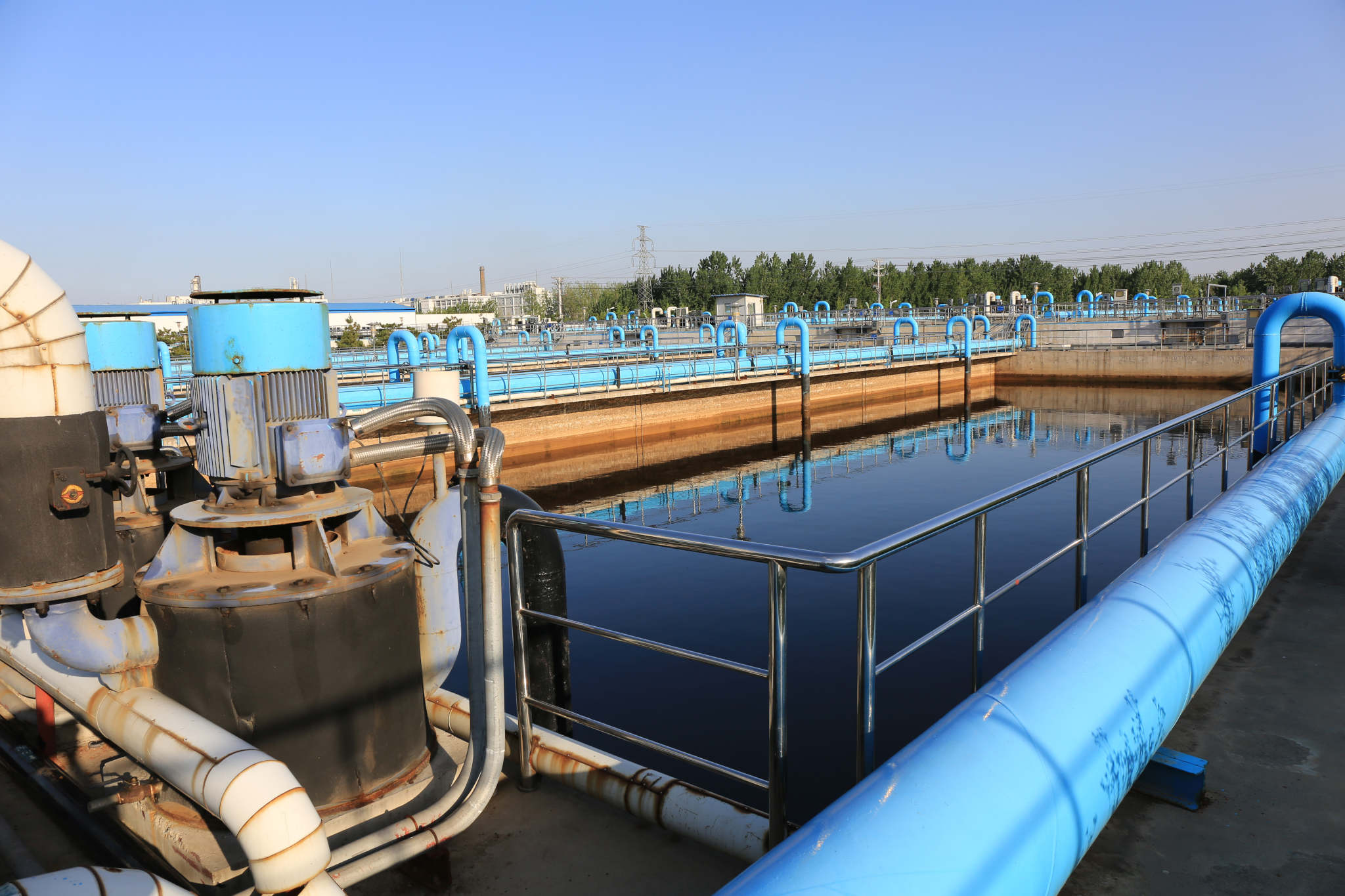
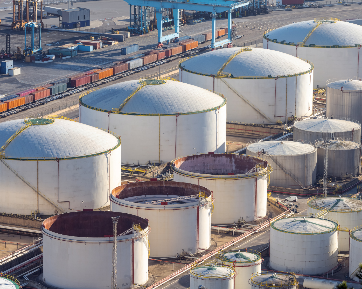
Image: Monitor structural stability at oil and gas processing facilities
Discover how InSAR can improve your operations. Contact us today to learn more about our tailored solutions for the energy industry.
