Geotechnical
Displacement Monitoring for the Geotechnical Lifecycle
Historical Ground Movement for Desk Studies
One of the biggest challenges to getting a geotechnical project off the ground is a site's historical ground behaviour. Namely, fully understanding its nuances to lessen the chance of geotechnical risks and associated project delays. That's where our datasets and historical analysis reports come in. Historic and up-to-date ground movement data obtained by our InSAR technology can be used to build the most detailed picture of any ground displacement across your projects.
Remotely Assessing Movement Risk
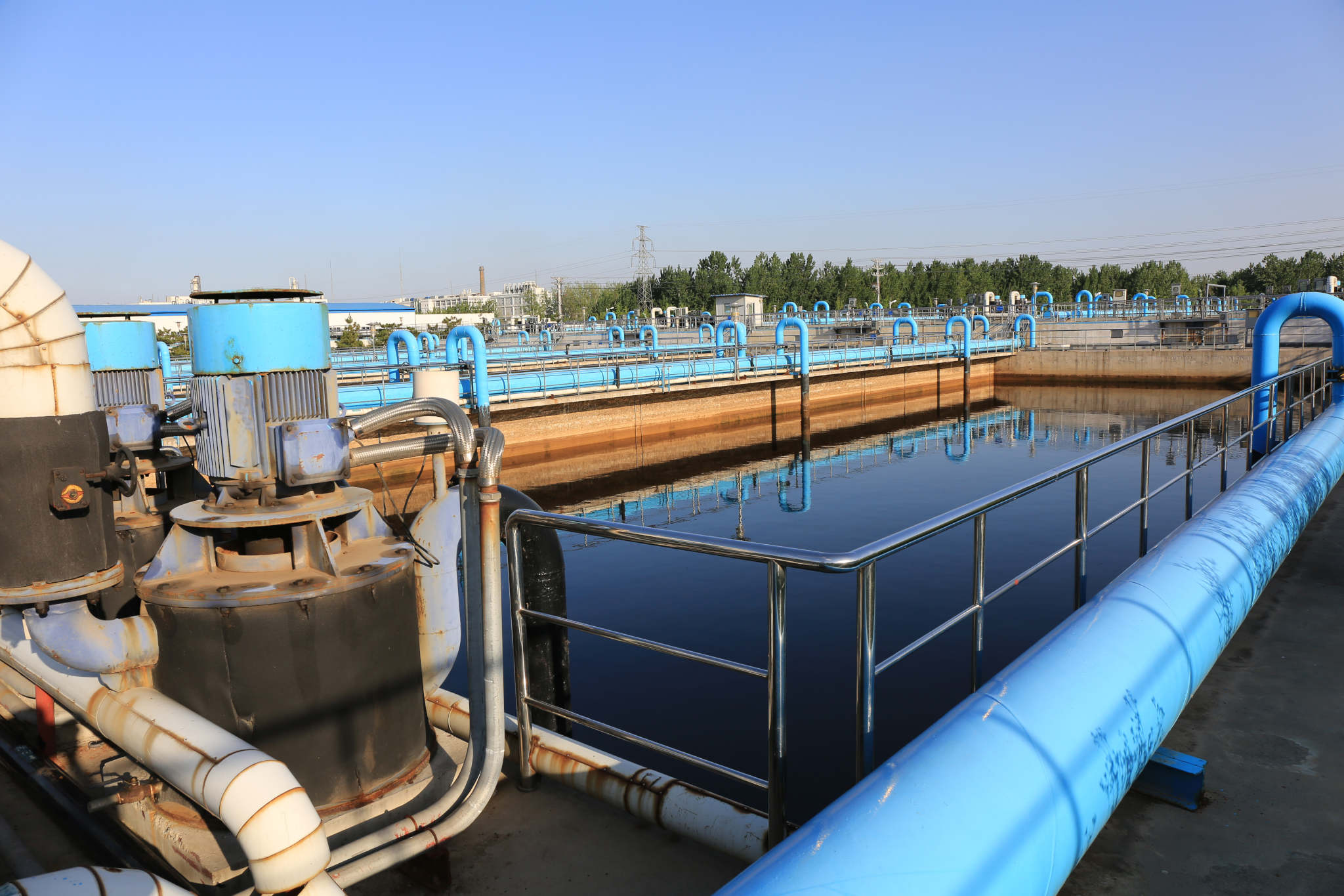
Embankments, retaining structures, brownfield sites...
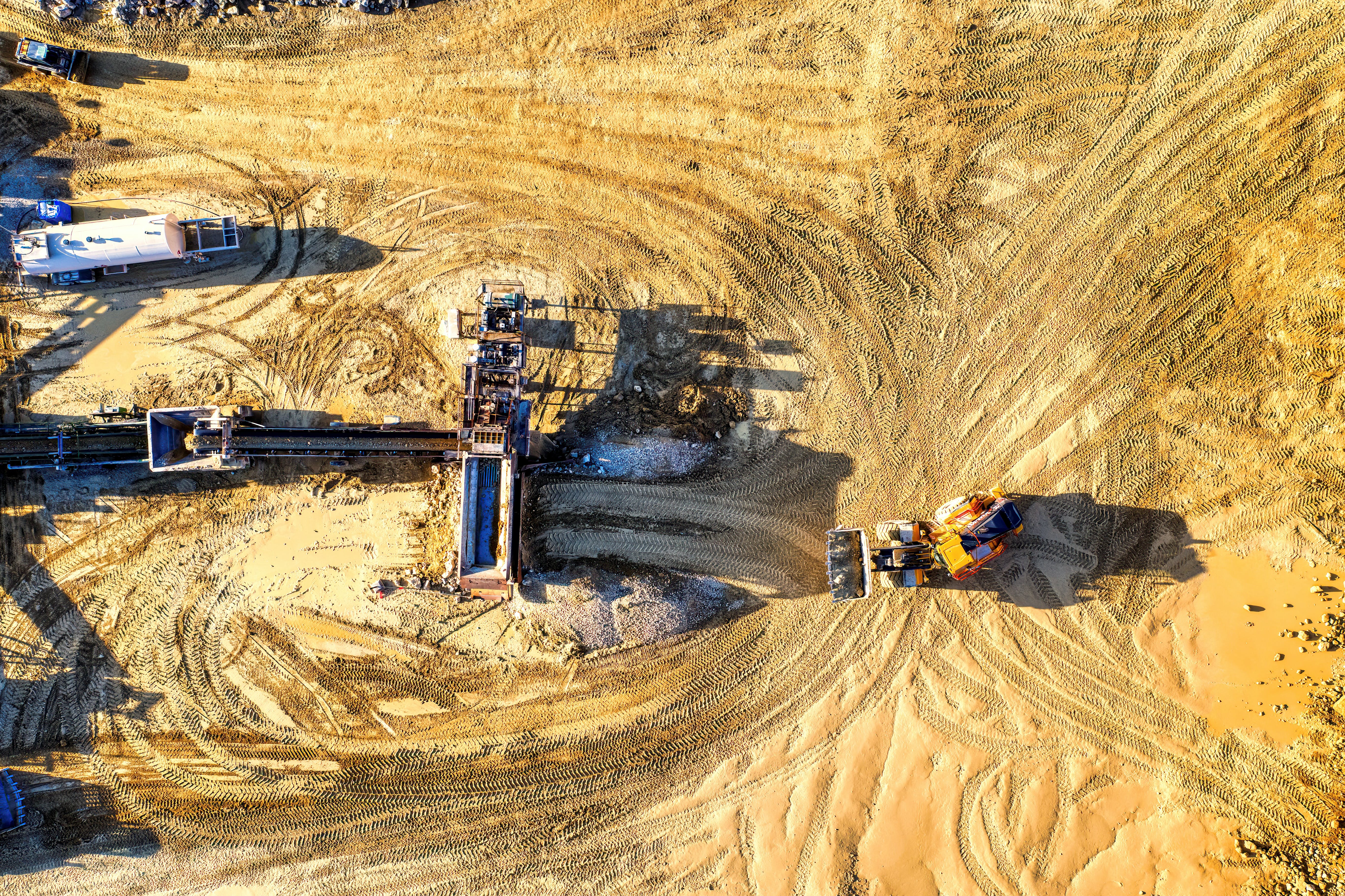
No matter your geotechnical asset, its ground deformations require monitoring to minimise and manage any geotechnical risks to both your business and the public. However, limited resources can still stall these vital activities, leaving Engineers in the dark about which sites or assets are 'high-risk' and need remedial works prioritising.
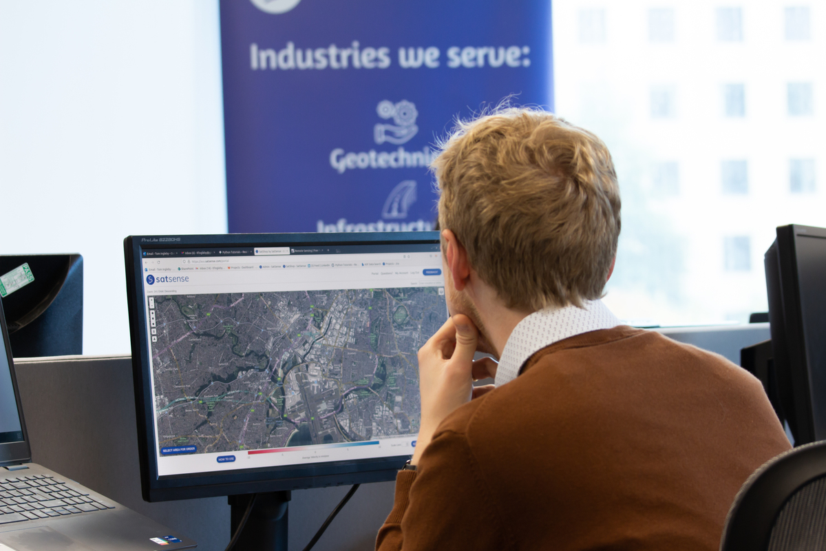
At SatSense, we're firm believers in making monitoring as accessible and cost-effective as possible. InSAR enhances your capability to understand the extent of ground movement and geohazards, working with you to maximise the efficiencies of current or future projects.
A safer and quicker way to understand ground movement across your projects
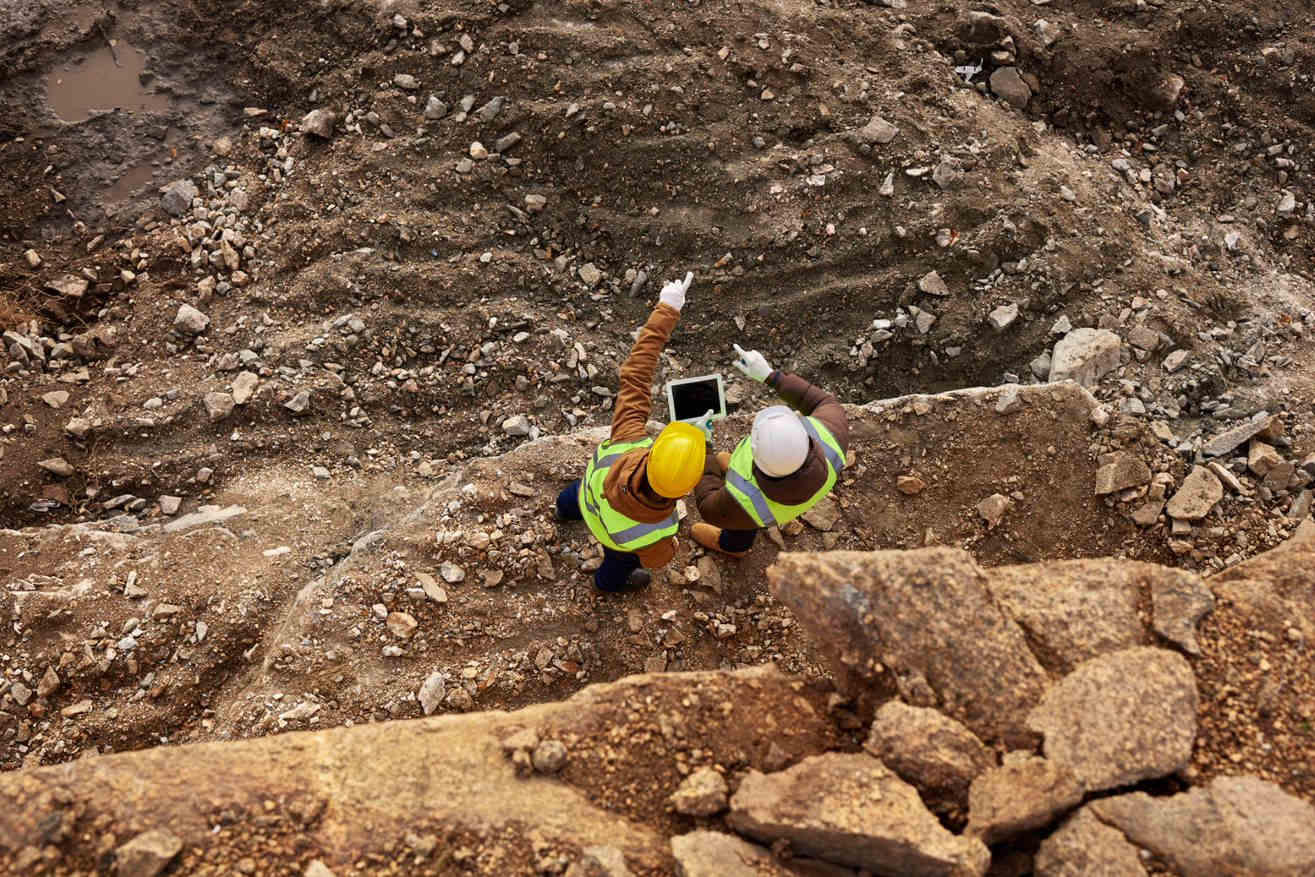
Using satellite-derived ground movement data for geotechnical projects can help identify, assess and confirm movement risks across projects before anyone steps foot on-site.
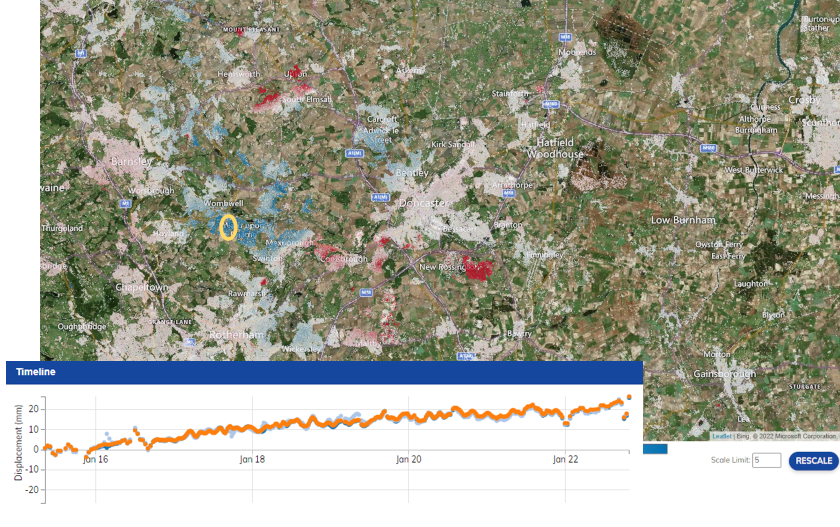
Time-series graphs generated by InSAR are complete with coloured velocity points, letting you visualise ground movement over a specific site location or an entire city, while our bespoke risk indices pinpoint areas of movement, making risk identification quicker and helping to inform any subsequent risk management decisions. So, your design and cost mitigation measures are supported with analysis more in-depth than ever before!

Identify historic movement

Assess where the movement occurred

Assess the type of movement - e.g. shrink/swell

Monitor ongoing risk
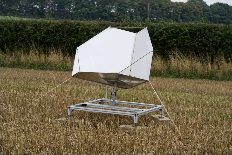
Increase coverage using Corner Reflectors
There's not a single technique or instrument that can currently provide all the information required to make informed engineering decisions. And InSAR technology is no exception to the rule. It has its own minor limitations - for example, obtaining coverage across high levels of vegetation.
To complement InSAR datasets, our geotechnical clients often take advantage of corner reflectors. Particularly useful for guaranteeing coverage in vegetated areas, they work by reflecting electromagnetic waves from satellite radar back towards the radar. This guarantees InSAR coverage - and a displacement value every week.