Transport
Efficient asset management of transport networks requires precise monitoring of ground and structural movements that can disrupt operations and pose a hazard to users.
Proactive asset management strategy
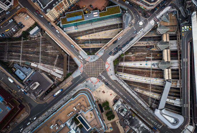
Monitoring rail and road networks is crucial for maintaining the safety, efficiency, and longevity of critical infrastructure. Ground and structural movements can lead to disruptions and costly repairs if not detected early.
InSAR monitoring helps to:
- Identify movement precursors before they become critical
- Minimise downtime to maintain operational efficiency
- Reduce boots on the ground exposure
- Monitor beyond the boundary fence
Monitoring transport infrastructure with InSAR
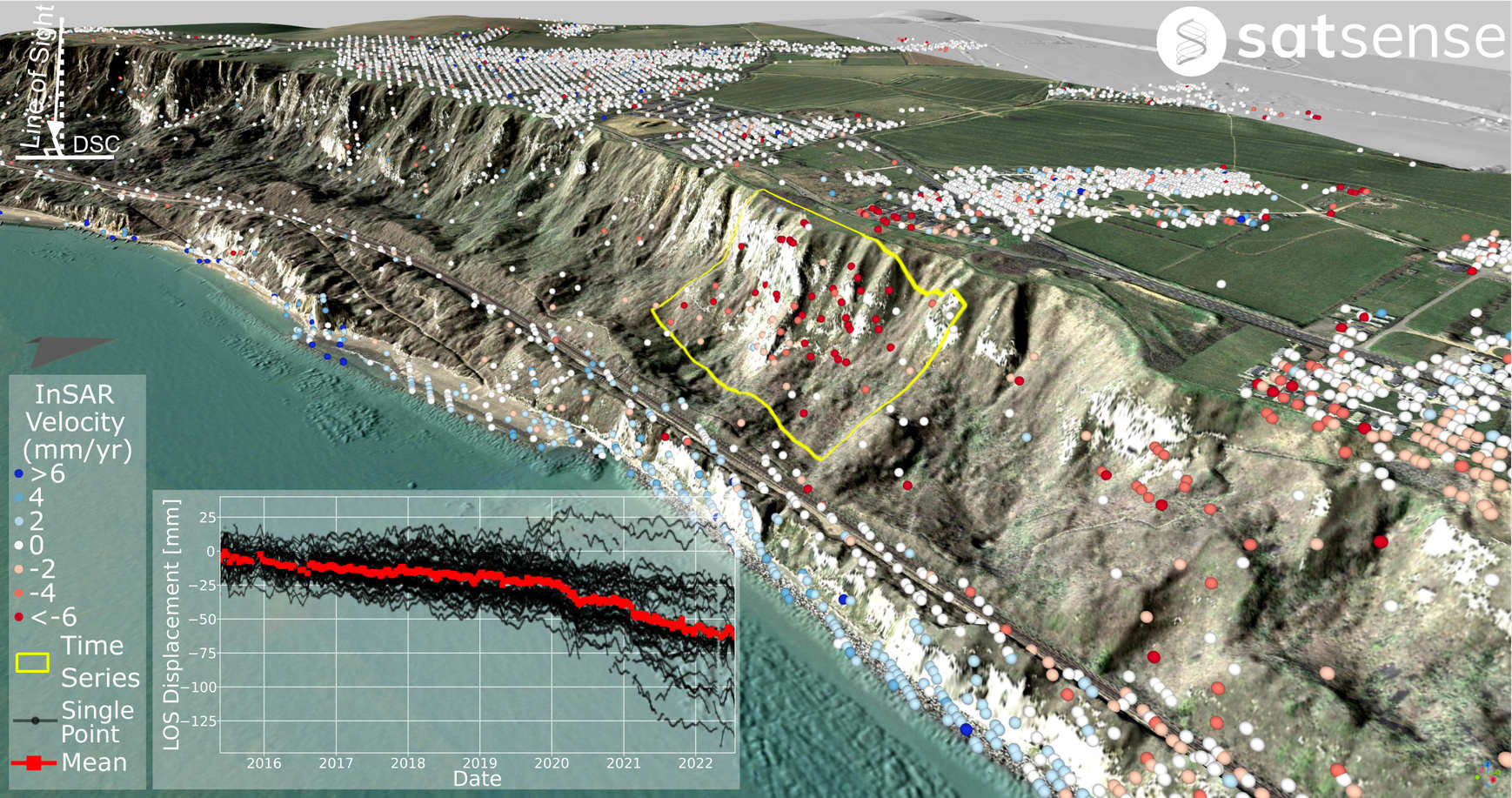
InSAR provides millimetric precision ground and structural movement measurement data, including the ability to monitor back in time.
Geotechnical: It enables slope stability assessments on embankments, cuttings, and landslides.
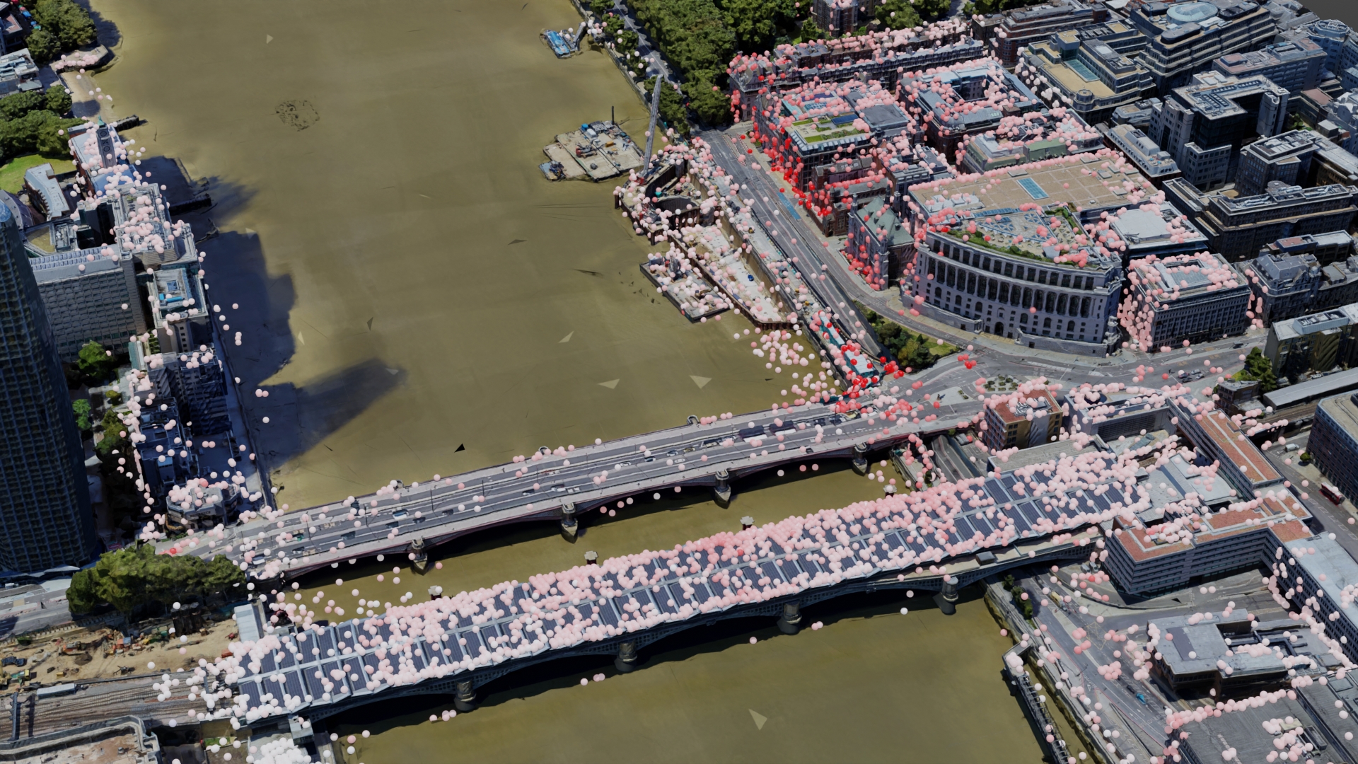
Structures: InSAR allows for the monitoring of structural integrity in bridges, flyovers, and other critical infrastructure assets.
Subsurface: Movements at depth, related to extractive industries or tunnelling, can be detected and monitored, as they can affect infrastructure on the surface.
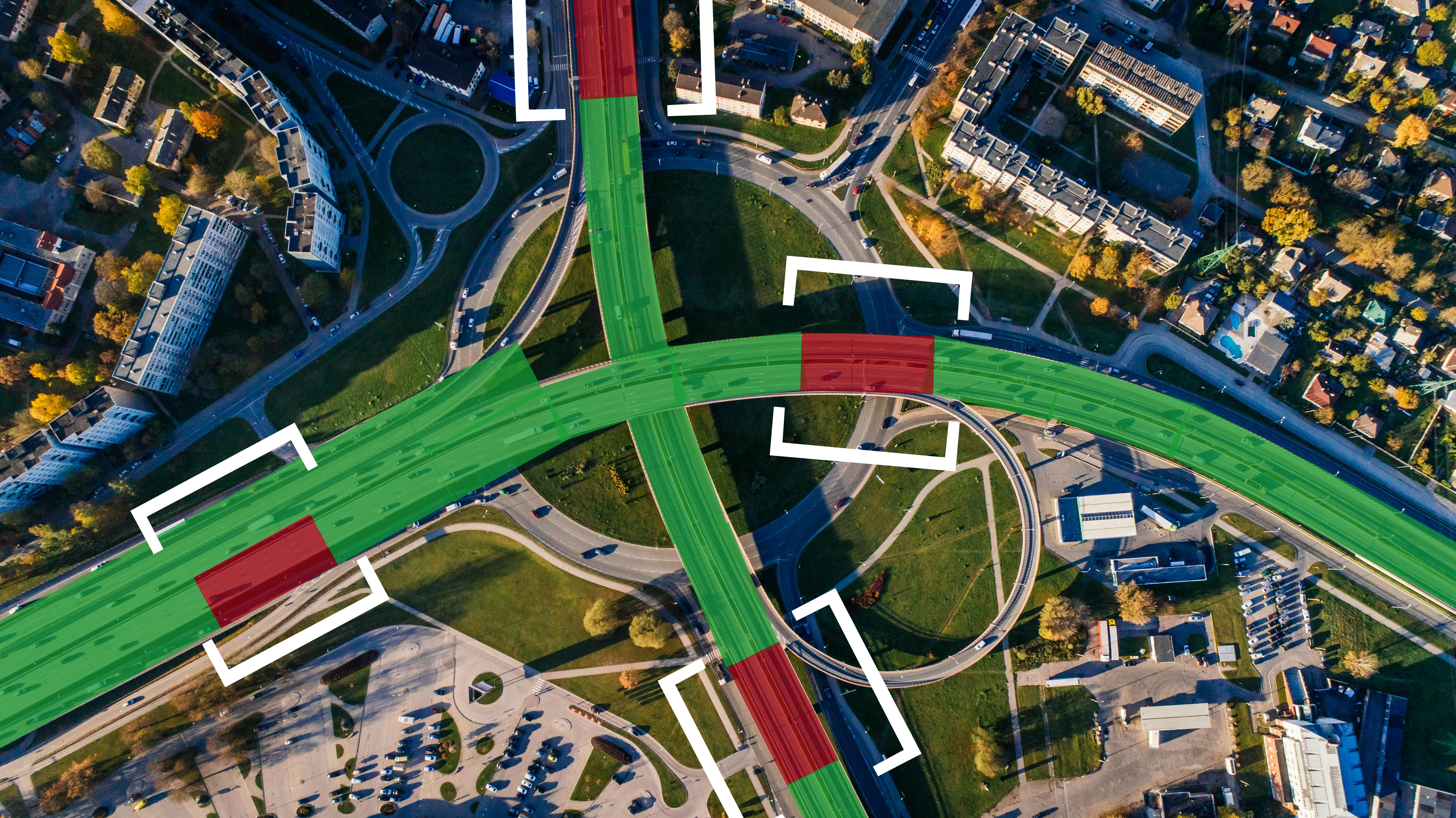
Smart analytics for network-wide screening and alerting
- Inform maintenance strategy with data-driven analytics across entire transport networks.
- Prioritise areas identified as being at the highest risk from ground movement.
- Ingest historical information on past failures to update machine learning models and improve insights.
- Receive ongoing alerts on anomalous movements in relation to movement criteria and past trends.
InSAR technical details summary:
- Millimetric precision ground and structural movement data.
- Regular information with ~weekly frequency.
- Historical data archive globally to 2015.
- Legacy data can extend the archive to the 1990s.
- High-resolution data available with up to 1 m resolution.
- Augment coverage with corner reflectors.
Get in touch to discuss how InSAR can transform the management of your rail and road infrastructure network.
Consult our InSAR Specialist