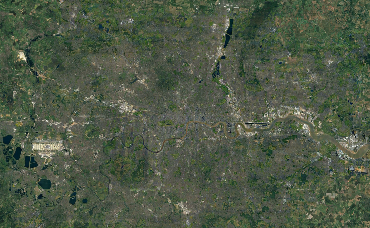
New Zealand Countrywide Mapping
New Zealand Countrywide InSAR Data
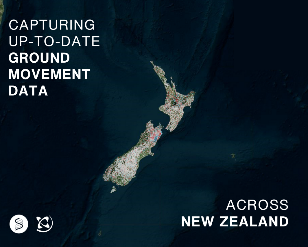
At SatSense, we're committed to making ground movement data accessible to organisations around the world. As part of this mission, we’re excited to offer regularly updated InSAR (Interferometric Synthetic Aperture Radar) data across entire countries. This service is powered by Sentinel-1 data, providing comprehensive coverage from 2014 to the present day, with updates every 6-12 days.
In New Zealand we’ve partnered with GNS Science, the Crown Research Institute for Earth and Material Sciences to deliver this invaluable dataset. Whether you're managing geohazard risks, assessing infrastructure stability, or monitoring environmental impacts, our InSAR data can support a wide range of applications.
"SatSense is a trusted partner in delivering high quality InSAR data to advance our ability to assess and monitor geohazards in New Zealand." - Ian Hamling, GNS Science
"The collaboration with GNS Science represents a significant leap forward in our mission to make ground movement data readily accessible worldwide. Users in New Zealand routinely use our pre-processed and regularly updated ground movement data at a national scale. We are delighted that our data is used to inform national safety-critical projects, and excited to empower various industries with accurate and timely insights that drive smarter decision-making and enhance operational efficiency." Matthew Bray, CEO
Accessing the data
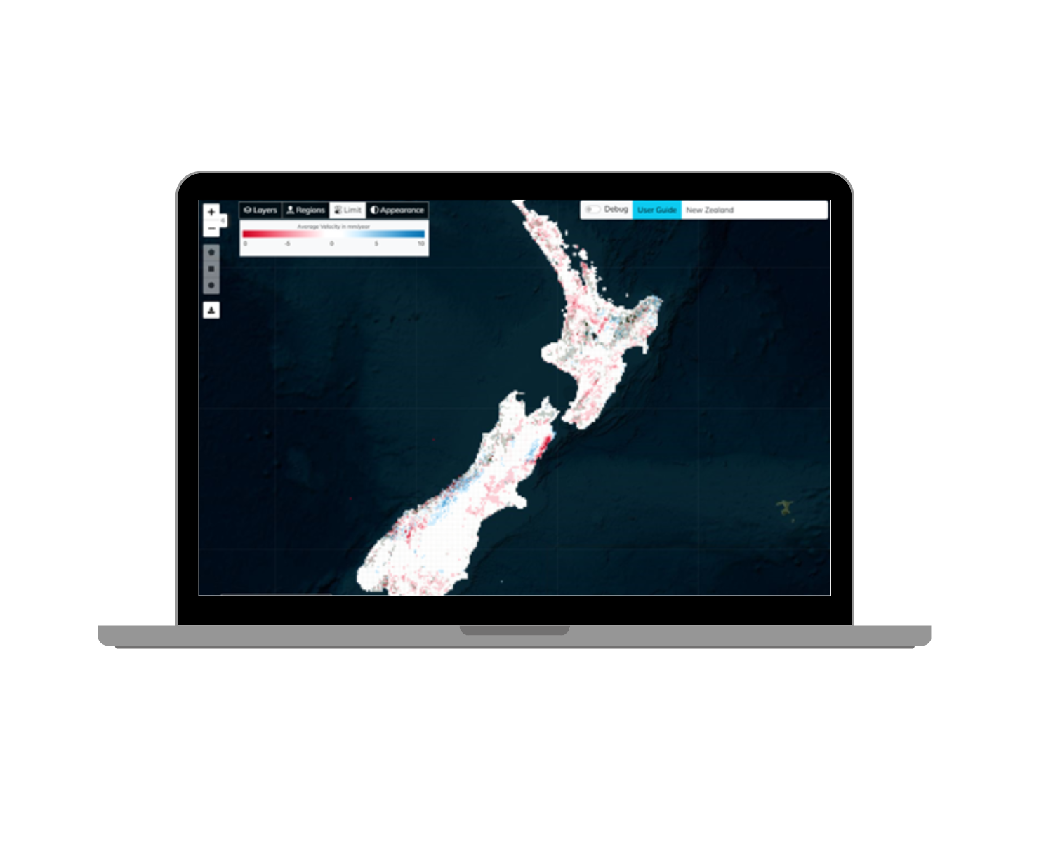
You can access the New Zealand InSAR data through our intuitive data visualisation portal, SatShop. Our portal offers a seamless experience for visualising, purchasing and analysing ground movement patterns across the country. Alternatively, our team is here to assist you directly to determine how this data can support your specific project needs.
Image: InSAR data for New Zealand available in SatShop
Why is ground movement monitoring important in New Zealand?
New Zealand is a geologically active region, prone to a variety of geohazards, including earthquakes, volcanic activity, heavy rainfall events, and coastal erosion. The ability to monitor ground movement is vital for understanding and mitigating these risks. Here are just a few ways our InSAR data can be applied to critical sectors:
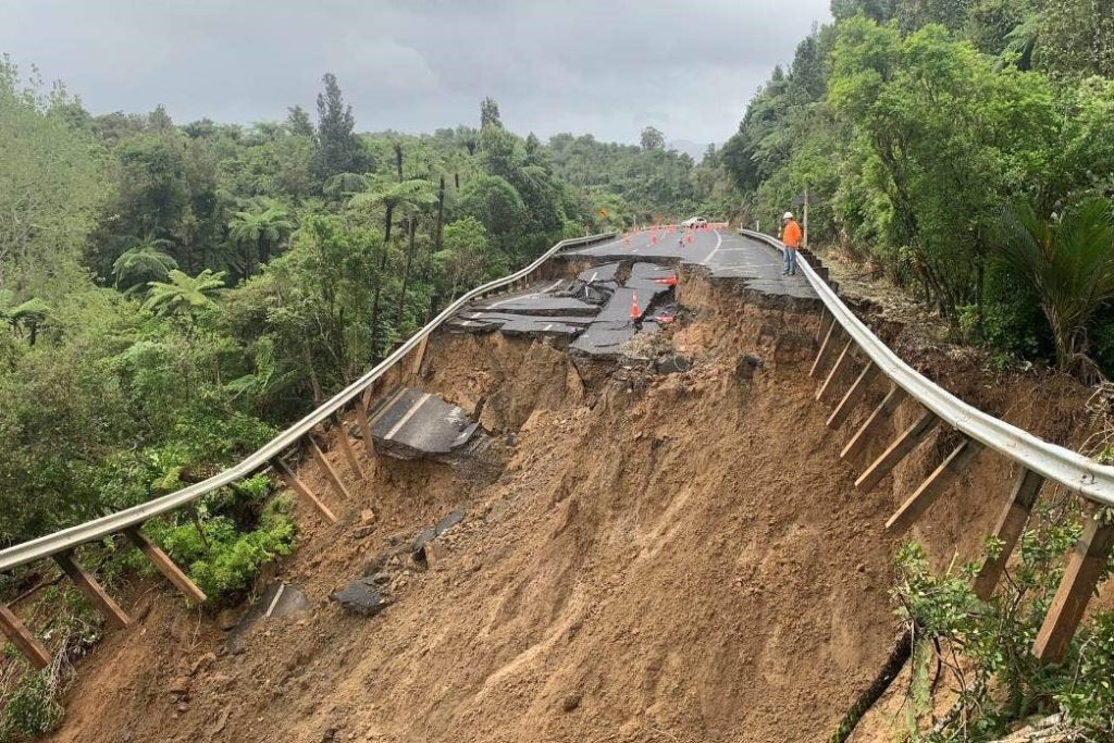
- Landslides - InSAR technology can detect millimetre-scale ground movements, providing early warnings of instability for properties, transport and transmission infrastructure in landslide-prone areas. By identifying movement trends, you can assess risks and take preventative measures.
- Land subsidence - InSAR data is invaluable for monitoring soil and ground deformation, which is crucial for foundation and infrastructure stability. Track subsidence or settlement and make informed decisions regarding geotechnical projects.
Image: Road collapse from a landslide on state highway 25A
Why is ground movement monitoring important in New Zealand?
- Mining Operations - Our InSAR data is critical for tracking surface deformation caused by mining activities for both operational sites and closed sites undergoing remediation and rehabilitation. This helps assess the environmental impact, improve operational safety, and manage resources responsibly.
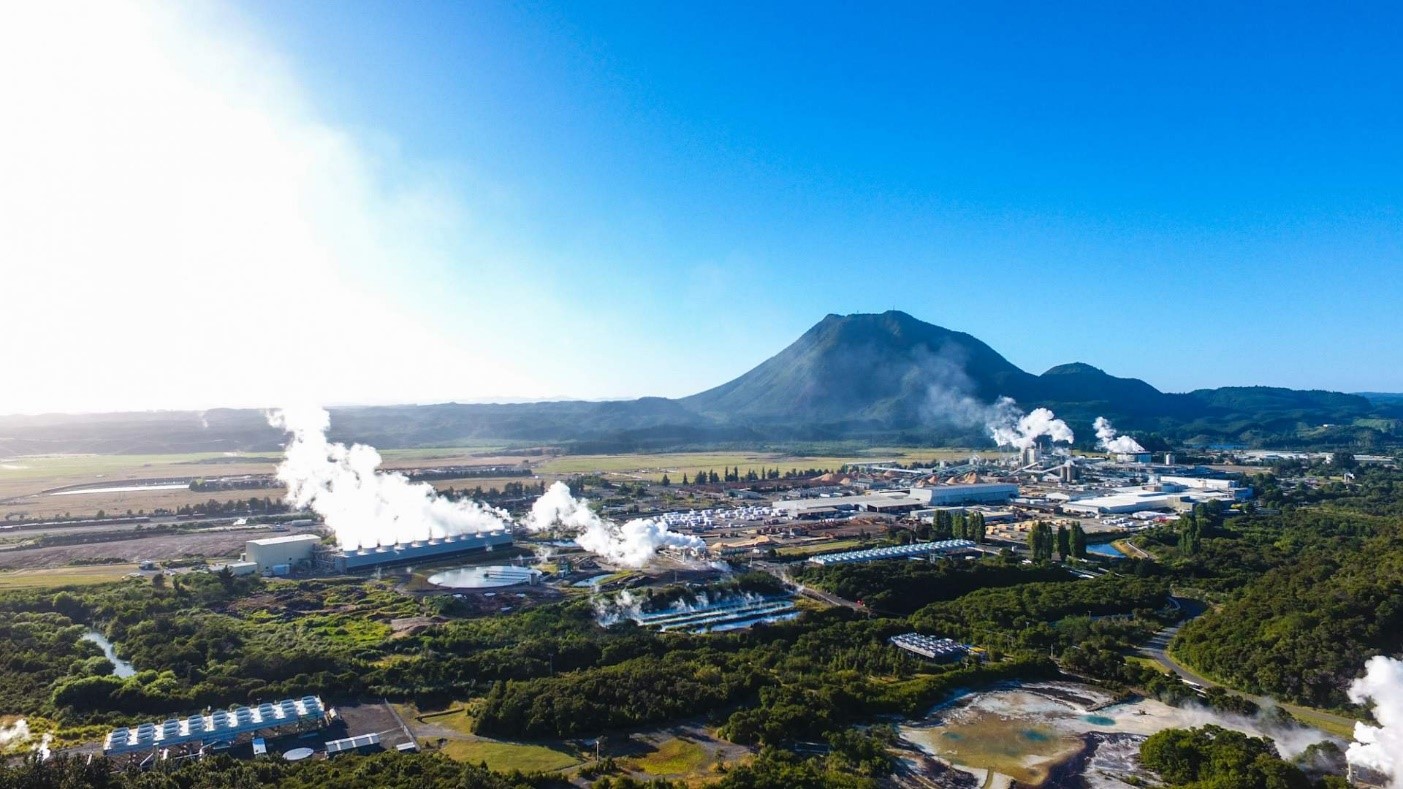
- Geothermal - Monitoring subsidence or uplift near geothermal sites is essential to ensure the sustainable management of resources. Geothermal applications are also transferable to reservoir surveillance for gas extraction and future underground CO2 storage.
- Tectonic Deformation - After an earthquake, analysing ground movement patterns is crucial. Our InSAR data tracks the deformation before, during, and after seismic events, helping researchers and agencies understand the extent of damage and plan for recovery. Volcanic activity can also lead to subtle ground deformations that may signal an impending eruption. Our InSAR data assists in detecting these movements, aiding in eruption prediction and improving hazard response strategies
image: Geothermal plant in New Zealand
How Can We Help?
If you’re working on a project in New Zealand that could benefit from monitoring ground movement, our team is ready to discuss your requirements. We can help you determine if the InSAR data is suitable for your needs and guide you on how to integrate it into your workflows.
Contact us today to learn more about how our InSAR data can support your next project.
SatShop
You can also access data via SatShop, our one-of-a-kind self-service portal. SatShop lets you produce datasets at speed and with ease, putting the power of InSAR into your hands.
Discover SatShop
