United Kingdom Countrywide Mapping
United Kingdom Countrywide Mapping
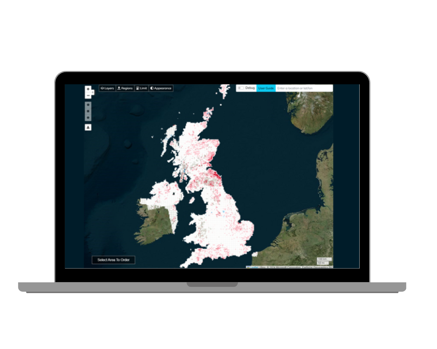
At SatSense, we are dedicated to delivering precise, up-to-date, wide-area ground movement data that enables more informed decision-making. Since 2019 we have been updating InSAR data covering the entire UK. Powered by Sentinel-1 data, our nationwide dataset spans from 2014 to the present day, with updates every 6 days. This service is designed to help tackle a variety of UK-specific challenges—from proactive asset management of ageing infrastructure to managing natural hazards and energy operations.
Image: UK countrywide InSAR data available to access in SatShop.
What are the key applications of InSAR data in the UK?
- Monitoring ageing infrastructure – from roads to rail, and bridges to dams, the UK is home to a significant amount of ageing critical infrastructure. InSAR displacements can be used to identify precursors to failing infrastructure and, if used as part of a proactive maintenance strategy, can enable cost-saving with timely repairs and reduce the risk of accidents.
- Property and insurance - InSAR data is increasingly used in property risk assessments by insurers and property portfolio managers. Ground movement, whether from subsidence, settlement, landslides, third party interference or other factors, can significantly affect the value and safety of properties. Insurers rely on detailed data from InSAR to assess the risk of damage from ground deformation, including shrink-swell, before insuring a property, setting premiums or settling damage claims. Insurance providers paid out £54 million in subsidence claims in 2023, up 21% from 2022 and expected to increase with the effects of climate change and as new properties are built.
- Landslide detection and risk mitigation - InSAR can detect early signs of landslides in areas with unstable slopes, helping prevent damage to infrastructure and communities by enabling early warning and risk management.
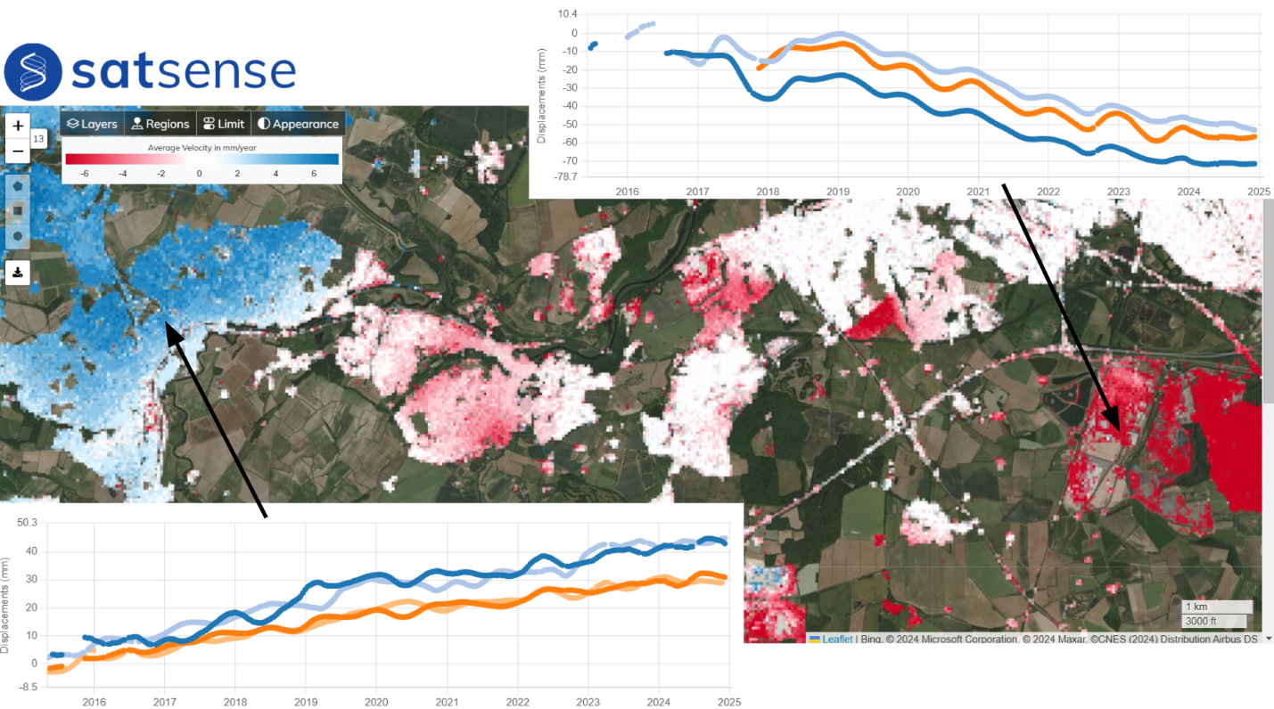
- Managing risks associated with legacy mining – subsidence associated with legacy coal, brine and other types, mining in the UK continues to be a risk to assets in the UK. InSAR can be used to map areas of high risk and settle subsidence claims quickly. Uplift can also be a risk in areas of mine water recharge. Historical coal tips also pose a risk as they may become unstable over time, potentially leading to landslides.
Image: Displacement from 2015 - 2024 over a historical coal mining area in the UK. Subsidence (red) of up to 7cm is identified to the east and heave (blue) of up to 4cm to the west.
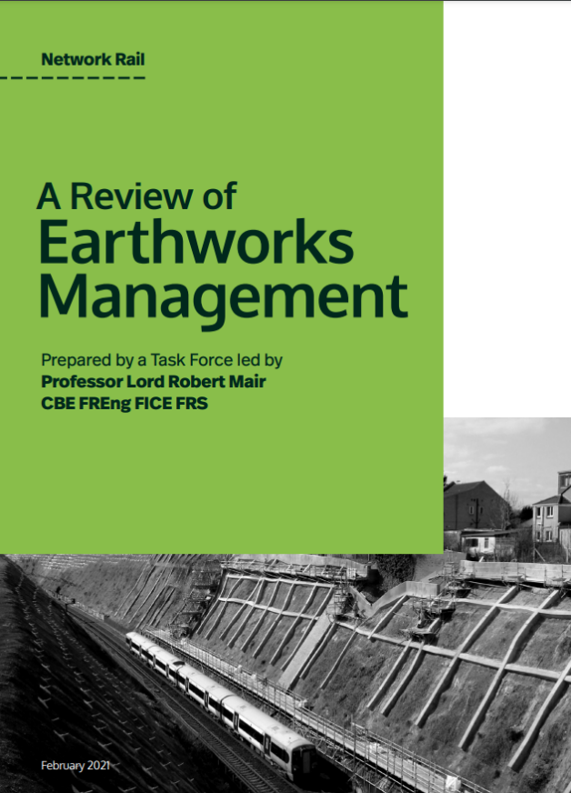
“InSAR is a promising technology which is developing rapidly, particularly with rapid developments in AI and machine learning, and should be given further attention. We recommend that a number of critical slopes be equipped with reflector markers to overcome the problem of vegetation and that the potential for InSAR be explored further.” - Professor Lord Robert Mair review, 2021
A critical tool for a changing climate
InSAR provides a vital tool for managing and mitigating risks posed by movements to infrastructure, property, natural hazards, and legacy industry in the UK. Climate change, with its impacts on weather patterns, sea levels, and soil conditions, will intensify many of these challenges, making monitoring with advanced technologies like InSAR even more important.
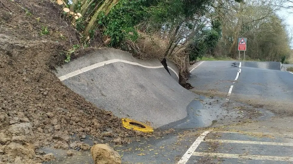
Image: landslide in Lyneham, UK in 2022 resulting in significant road damage
Accessing the data
SatShop by SatSense is an interactive data visualisation portal designed to provide users with easy access to satellite-based ground movement data, particularly using InSAR technology. The platform allows users to explore, purchase, analyse, and monitor ground movements across regions using InSAR data derived from Sentinel-1 satellites.
By using InSAR data, engineers, insurers, and policymakers can gain a clearer understanding of the ground movement risks in a rapidly changing environment, enabling proactive and informed decision-making to ensure the safety and resilience of communities and infrastructure across the UK. Contact us for more information.
