Assess Monitor Alert
Precise and timely deformation assessment and monitoring services using satellite borne radar.
Safely and quickly identify ground movement risks using SatSense's Assess, Monitor and Alert Software
Assess
Determine the stability of your site or structure, or highlight locations that require further investigation or maintenance.
Filter movements by magnitude and type (e.g. bending, acceleration, heave, etc). Areas from the size of a house to nationwide, 2015 to present day as standard.
Monitor
Receive updated movement data over your area of interest at a frequency that suits you, ranging from weekly to annually.
View on our web-based portal, receive updated files for your GIS viewer, or use our API.
Alert
Protect people and your assets.
Receive an email or text message if excessive movement is detected.
Set your own thresholds or let us help you determine them.
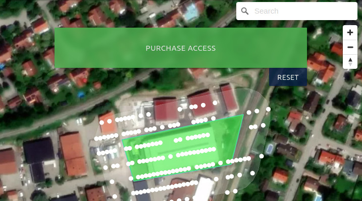
SatSense Marketplace
Effortless Data Discovery
- Zoom into your area of interest, draw a polygon, and explore available InSAR data points.
Instant Ordering
- Select and purchase the data you need directly from our website.
Unlock seamless access to high-quality InSAR data with just a few clicks.
SatSense Analysis
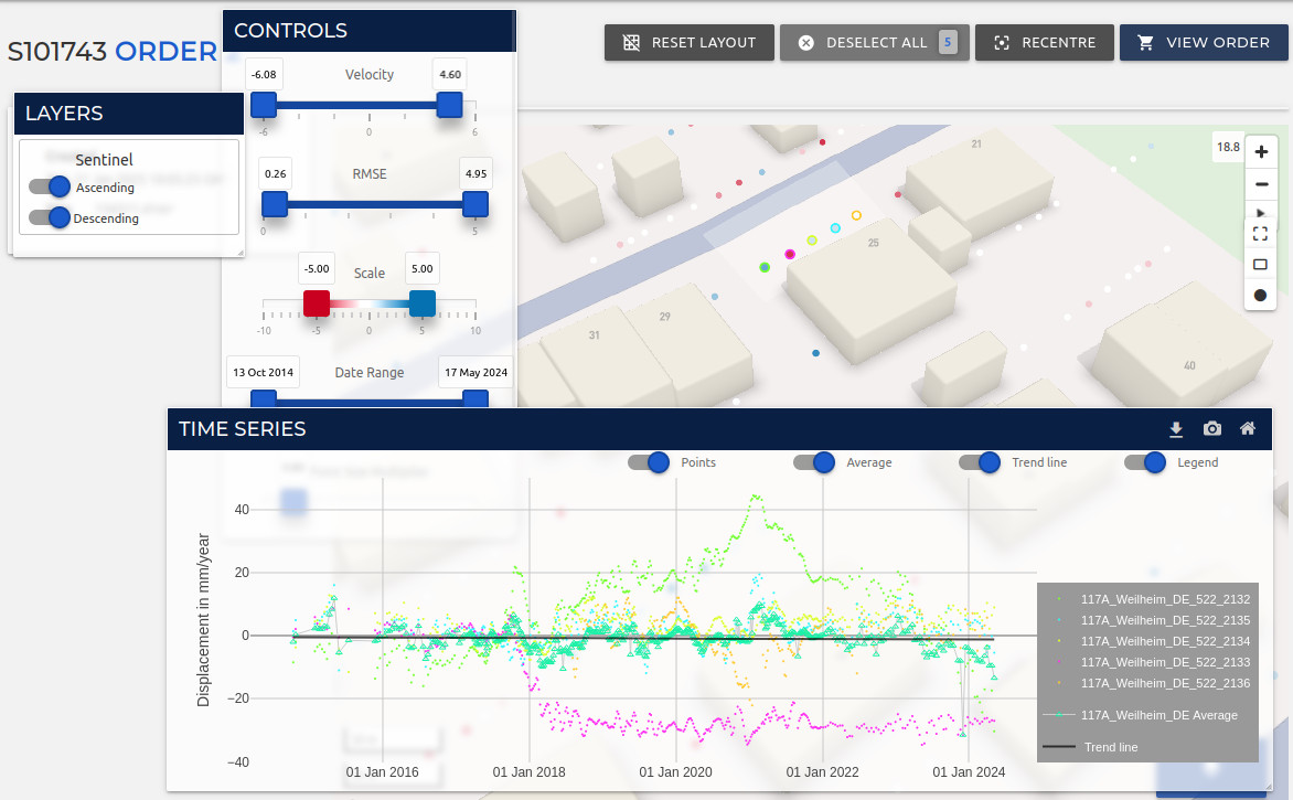
Interactive 2D & 3D Visualisation
- Explore your data in multiple dimensions.
Powerful Analytics Tools
- Utilise custom tools for quick interpretation of InSAR time series data.
Transform your InSAR insights into actionable intelligence with SatSense Analysis
View sample areas for your industry
Geotechnical Infrastructure Property and Insurance Water UtilitiesFree and instant registration required